Get the playbook
Walk into your next budget meeting prepared with:
Your own numbers
An honest read on what imagery replaces
A checklist that works on any provider you’re considering
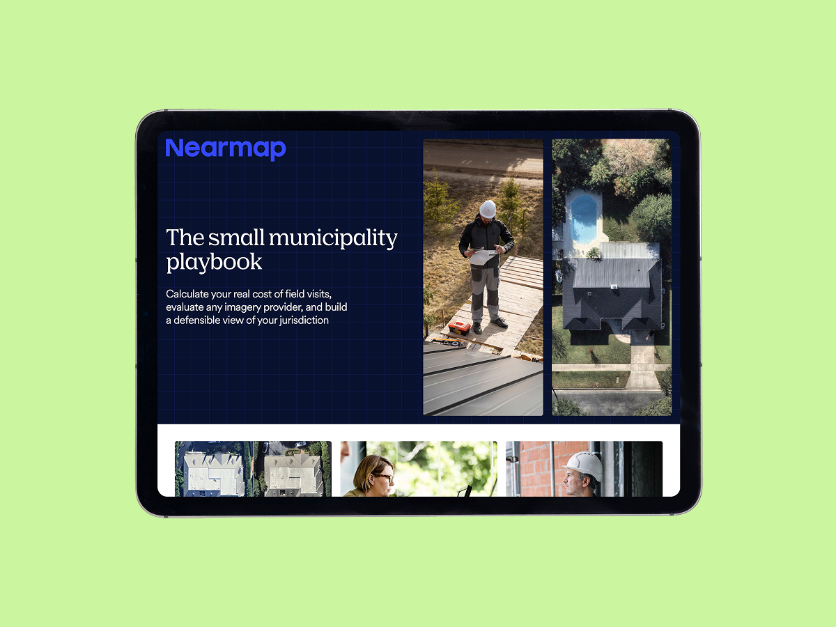
What's inside the guide
Four things you can use today, before you talk to any vendor — including us.A cost worksheet
An honest account
A seven-point checklist
Real-world results
Small teams, not big-city case studies
The playbook highlights wins from jurisdictions your size.
Melrose, Massachusetts
Saved time, going from 30–40 min → 5–15 min per property. Desktop review of current imagery lets the assessor's office validate most of its 10,000 parcels without a field visit.
Grapevine, Texas
Making 50+ map requests per month with the same team size. Shared, current imagery across departments lets the city handle a steady volume of map requests without adding headcount.
Eastvale, California
Recovered $3M in annual revenue. An up-to-date view of construction across a fast-growing area informed planning decisions to help attract new business.
Build the case with your own numbers.
The playbook is built to work whether you end up choosing Nearmap or another provider
Get the Playbook