Get the guide
Understand site conditions in minutes.
Prioritize field visits and make feasibility calls with confidence.
Draft accurate scopes and budgets with fewer people involved.
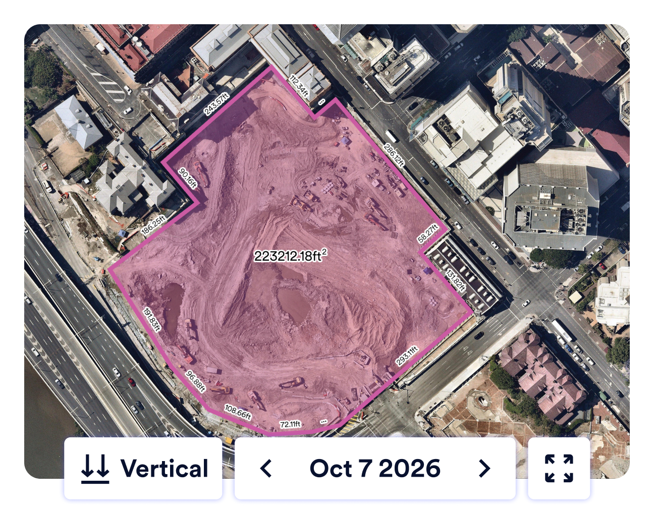
Free imagery costs more than you think
Free imagery rarely updates, so it commonly reflects outdated site conditions. That gap shows up later as inaccurate scopes, timelines, and budgets. They turn into change orders, rework, and lost margin.
Current data for millions of sites
1,740
+
97
%
117
M+
130
+
*When added to Nearmap Core, Nearmap Reach will deliver the first and only annual 4cm capture program covering 97% of the U.S. population and 95% buildings across the contiguous U.S. Nearmap Reach captures are scheduled to begin January 2027.
What's inside the guide
Four short chapters on where better site data pays off for your firm.Improve operational efficiency
Reduce risk on every project
Win the client, and keep them
One platform for site intelligence
Trusted by the firms shaping our built environment
8 of the top 10 architecture engineering firms in the United States use Nearmap.


Screen more sites. Win the bid. Protect margins.
See how current site data changes the way your team looks at every opportunity.
Get The Free Guide