How Oklahoma County transformed operations with property intelligence
Oct 2026
Oklahoma County uses accurate geospatial information to reduce the need for manual data collection and on-site visits for 70% of the county.
Oct 2026
Oklahoma County's ROI
0
%
0
M
The challenge
Outdated intelligence creating bottlenecks across departments
Oklahoma County, home to over 800,000 residents, relies on accurate, timely geospatial information to effectively execute vital functions — be that property assessments, disaster response, or monitoring economic developments across the community.
However, inconsistent, outdated aerial imagery and fragmented processes made timely decision-making across key operations difficult, leaving departments with delays and workflow inefficiencies.
Collaborations with neighboring jurisdictions aimed at pooling resources to purchase new imagery often led to delays of a year or more. Even when Oklahoma County was able to secure new captures, the image quality and resolution varied significantly — creating issues for consistent analysis.
However, inconsistent, outdated aerial imagery and fragmented processes made timely decision-making across key operations difficult, leaving departments with delays and workflow inefficiencies.
Collaborations with neighboring jurisdictions aimed at pooling resources to purchase new imagery often led to delays of a year or more. Even when Oklahoma County was able to secure new captures, the image quality and resolution varied significantly — creating issues for consistent analysis.
- Outdated assets: County imagery was often outdated before it could be analyzed, leaving gaps in property assessments and limiting opportunities to use property intelligence proactively.
- Fragmented needs: Stakeholders across jurisdictions wanted different types of imagery. Some counties wanted sub-3-inch resolution imagery, while others preferred planimetrics. Trying to meet all these needs resulted in less-than-ideal mosaics.
Tim Conner, GIS Director for Oklahoma County, described the process as “convoluted,” with no clarity about whether changes on the ground had occurred in the last year or even earlier. These hurdles slowed responses to natural disasters, increased manual workloads, and strained county resources.
But everything changed when Oklahoma County found Nearmap at the 2017 Esri User Conference.
But everything changed when Oklahoma County found Nearmap at the 2017 Esri User Conference.
The solution
Frequently updated, high-resolution property intelligence
Oklahoma County came across Nearmap at the 2017 Esri User Conference while searching for a reliable solution to address its geospatial challenges. Implementing Nearmap into the Assessor’s office brought consistency in imagery needs, clarity in data, and precision to county workflows through a suite of features and tools that reduced the need for manual data collection and on-site visits for 70% of the county.
Now Oklahoma County has access to:
- High-resolution imagery: Sub 3-inch resolution imagery that’s proactively updated multiple times annually provides county departments with accurate aerial information.
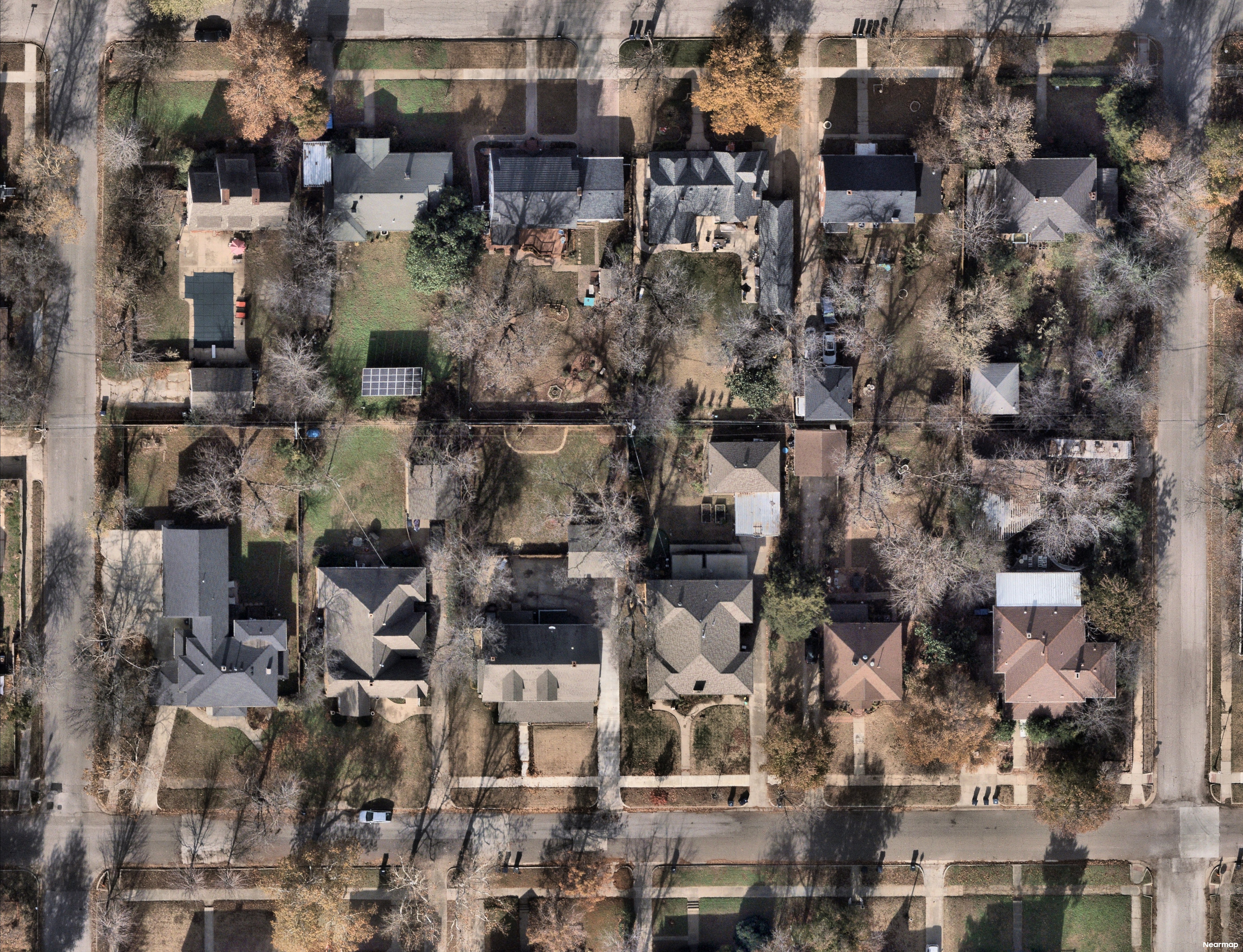
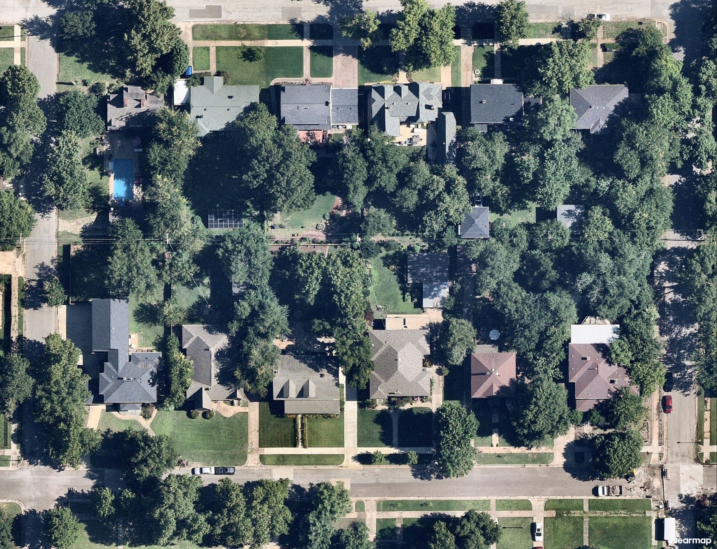
- Comprehensive coverage: Leaf-on and leaf-off captures ensure year-round visibility of both urban and rural areas, critical for property assessments and disaster management.
- Cross-department accessibility: A single source of truth enables unified access to the same geospatial data across county departments like emergency management, public works, and transit teams.
The impact
Effective, data-driven operations
The implementation of Nearmap delivered transformational results across Oklahoma County.
From improving property assessments to speeding up disaster response, Oklahoma County uses aerial data to integrate impactful solutions that empower its departments to work smarter, not harder.
From improving property assessments to speeding up disaster response, Oklahoma County uses aerial data to integrate impactful solutions that empower its departments to work smarter, not harder.
- Streamlined property assessments: High-resolution imagery reduced months of manual labor by enabling appraisers to conduct assessments more efficiently and focus field visits on prioritized areas.
- Faster disaster response: When an F3 tornado struck Oklahoma County in 2024, departments were scrambling to respond to an event that caused $43M in damages. Post-catastrophe imagery helped disaster response teams quickly identify damage zones and deploy resources within days instead of weeks.
- Adoption across departments: Nearmap data became indispensable for assessment, GIS, public works, and transit teams. The use cases are many — from property assessments to pothole detection to road planning — and the efficiency gains help teams better service the county.
The partnership between Oklahoma County and Nearmap illustrates how innovative geospatial technology can drive progress across various city government workflows. As Tim put it, “without Nearmap, nothing would be possible,” regarding the county’s success. Tim plans to further the use of Nearmap within Oklahoma County as he transitions into the GIS department, where he will focus on county-wide GIS initiatives.
)
Get started today
Take advantage of full-stack property intelligence for better decision-making.