A before and after view of the 2025 L.A. wildfires aftermath
Jan 2025
Nearmap post-catastrophe imagery captures the devastating impact of the Los Angeles fires. This visual story shows the incredible before and after imagery and intelligence used to support response and recovery efforts.
Jan 2025
)
Nearmap disaster response imagery captures the devastating aftermath of the Los Angeles fires. This visual story shows the incredible before-and-after imagery and intelligence used to support California wildfire response and recovery efforts.
The Nearmap team is deeply committed to supporting our customers during times of uncertainty, and the Los Angeles wildfires are no exception. Fueled by dry conditions and powerful winds, these fires have devastated homes and businesses, displaced entire communities, and driven insured losses to an estimated $28 billion.
As soon as conditions allowed, Nearmap planes took to the skies to capture high-resolution imagery of the damage. This critical information enables our customers in in property and casualty insurance, government, and commercial industries to help their communities recover, rebuild, and restore.
Quantifying damage: when and where
The 2025 Palisades fire started on January 7th and, driven by hurricane-force Santa Ana winds, engulfed over 23,000 acres, destroying large swaths of Malibu and Topanga overnight. Miles away in Altadena, the Eaton fire devastated communities, destroying over 9,000 buildings. The fires raged for nearly a month, until they were finally contained on January 31st, 2025.
As we captured imagery throughout the event, we utilized our ImpactResponse system to quantify the total damage across impacted areas and applied AI to pinpoint which properties were affected, damaged, or destroyed.
)
By the numbers
0
0
0
0
0
hrs
0
While we cannot prevent these disasters, we can work tirelessly to provide the data needed to aid recovery efforts. We also recognize the profound impact of this tragedy and the sensitivity surrounding its documentation. Please note that the following images depict widespread property destruction.
As we keep a close eye on the impacted areas and ongoing fires, we will update this blog with the latest disaster recovery content.
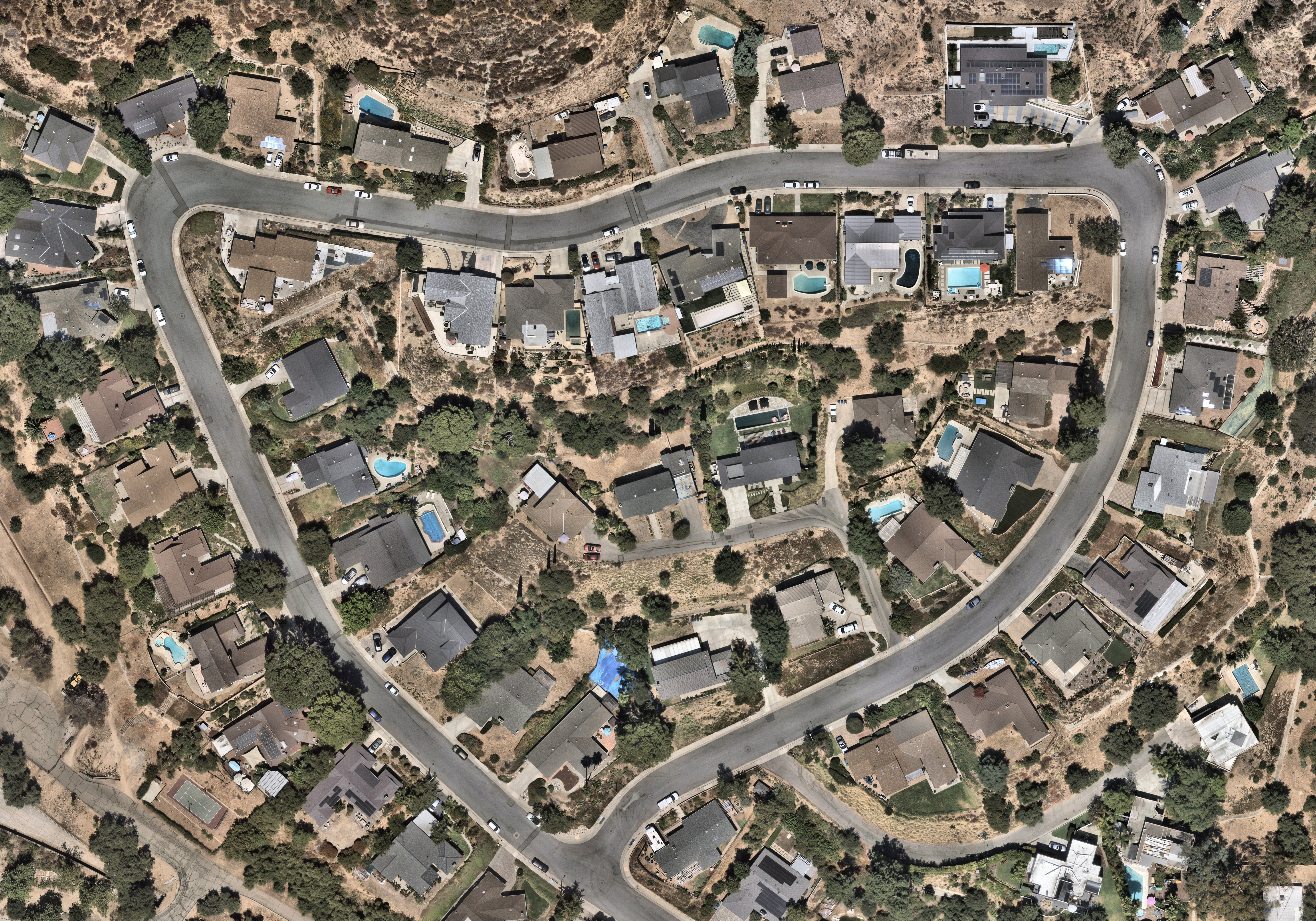
Malibu and Pacific Palisades fire pictures
The iconic coastal communities, famous for their string of idyllic beaches and home to many affluent celebrities and executives, have been decimated by the fires. From luxury beachfront properties to entire neighborhoods, the immense scale of impact is captured in this Nearmap ImpactResponse imagery.


Malibu and Pacific Palisades have a lengthy history of wildfires due to their naturally fire-prone landscape, intensifying drought conditions, and continued infrastructure developments.


Altadena (Eaton) fire pictures
A mere 13 miles from Downtown Los Angeles, the Eaton fire broke out in Altadena burning more than 14,000 acres.


With rapid access to accurate views of the extent of impact, insurers, governments and emergency response agencies can triage resources quicker and more safely during critical response and recovery efforts. Learn more about post-catastrophe property intelligence.
What does this mean for the California FAIR plan?
The devastation caused by the 2025 Los Angeles wildfires has far-reaching implications for the California FAIR Plan, the state’s insurer of last resort. As private insurers reassess risk exposure and reduce their presence in high-fire-risk areas, more homeowners and businesses will likely turn to the FAIR Plan for coverage.
With insured losses surpassing $28 billion, the financial strain on the FAIR Plan will be substantial, potentially leading to higher premiums, stricter underwriting requirements, and increased pressure on state legislators to reform wildfire insurance policies. Additionally, the extensive damage assessment provided in the ImpactResponse system by Nearmap high-resolution imagery can play a crucial role in helping the FAIR Plan expedite claims processing, verify losses, and ensure fair payouts to affected policyholders.
Given the growing frequency and severity of wildfires, the FAIR Plan may need to explore long-term strategies such as risk-pooling mechanisms, government-backed reinsurance, or expanded mitigation incentives to ensure continued viability. Policymakers, insurers, and homeowners alike must navigate these challenges as California’s wildfire landscape continues to evolve.