Five ways to use location intelligence to cut wildfire risk
Sep 2025
M'Shenda Turner, Senior Director ANZ Survey and Geospatial Content Operations, NearmapGet practical tips for reducing wildfire risk with aerial imagery and AI-powered data from volunteer firefighter and Senior Director ANZ Survey and Geospatial Content Operations at Nearmap, M’Shenda Turner.
Sep 2025
M'Shenda Turner, Senior Director ANZ Survey and Geospatial Content Operations, Nearmap)
Palisades fire, 2025
If you work in emergency management, you’re not waiting for summer to start thinking about wildfires. You know that when conditions escalate, and they will, the gap between manageable and unmanageable often comes down to preparation. But what can you do to get ahead of the risk?
At Nearmap, we partner with councils, emergency services, and planning departments to deliver high-resolution aerial imagery and AI-driven insights that make bushfire risk visible and actionable.
Here are five practical ways you can use that visibility to reduce risk this season.
1. Find the fuel
Overgrown trees. Creeping grass. That patch behind the shed no one’s touched since the 90s. It’s all potential kindling.
Nearmap AI picks up things like overhanging vegetation and dense ground cover: the kind of stuff that turns a quiet afternoon into a statewide emergency. Our data helps agencies and councils spot trouble before it becomes, well, actual fire.
Action: Check for encroachment in buffer zones, vacant blocks, or tricky terrain. If you’re relying on site visits alone, you’re already behind.
)
Nearmap AI layers identify tree overhang (red).
2. Check access and egress for high-risk properties
Blocked or narrow driveways, single-entry properties, and hidden access points are all risks we see from above. In an emergency, they cost valuable time and put both residents and responders at risk.
With high-resolution aerial imagery, you can assess every property’s access points at scale, no boots on the ground needed.
Action: Run checks across known high-risk areas to flag properties with limited access. Use this data to guide compliance inspections or community outreach.
)
San Bernardino, CA
3. Know what’s on the roof and on the ground
What’s on your roof matters. Same goes for what’s in your backyard. Nearmap AI can detect roof debris, solar panels, and dodgy add-ons like old sheds or lean-tos that turn into fireballs with enough heat and wind.
For local councils, this is gold. We’re talking about proactive risk management without sending someone up a ladder.
Action: Use property material data to guide retrofit programs, building approvals, or targeted outreach in fire-prone suburbs.
)
Nearmap AI layers identify buildings (orange), solar panels (blue), HVAC (red), and roof rusting (yellow).
4. Monitor urban encroachment into fire-prone areas
Development is expanding. And not all projects are keeping pace with planning requirements for fire safety.
Nearmap captures change over time, giving planning teams and compliance officers visibility into site activity, vegetation clearing, and firebreaks.
Action: Track new builds near hazard zones using up-to-date imagery. Validate setbacks and fire safety features before sign-off or occupancy. It’s also a useful tool for post-event investigations and reporting.
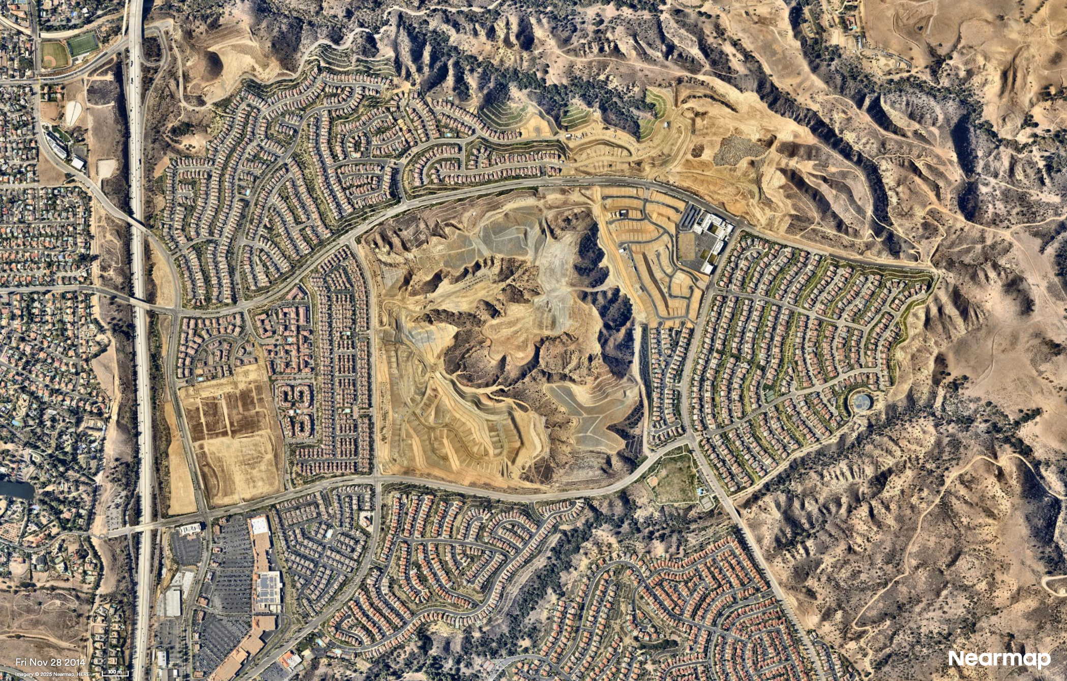

Porter Ranch, CA
Sprawling developments on fringes of major cities are monitored for fire risk.
5. Catch hazards hiding in plain sight
Illegal dumping. Backyard burn piles. Stockpiled tyres. You’d be surprised what pops up when you zoom out. And what looks innocent from the ground can look like a red flag from the sky.
We’ve used Nearmap AI to help authorities flag these kinds of hazards early, before they turn into media releases.
Action: Add a visual sweep to your prep routine. One image can show you what a dozen reports might miss.
)
AI Layers
)
Why visibility matters
Preventing wildfire damage is faster, more cost-effective, and safer than responding after the fact. But prevention relies on knowing exactly what’s changed, where risk is building, and how to act on it.
That’s where we come in. Nearmap imagery and AI give you the clearest possible picture so you can make confident, informed decisions before the danger escalates.
When you can see it, you can stop it.
Let us show you how.