Nearmap Announces Agreement to Acquire Betterview

Learn More
X
Aerial photography for government community projects
Nearmap

Can Your Map Show Community Change at Scale?

When you need to see your communities clearly and valuate properties more accurately, Nearmap provides the most reliable up-to-date location content to show you truth on the ground.

Back Your Community Decisions with Context

As community needs change and grow, so does the need for government departments to access up-to-date location content.

Nearmap aerial imagery and location data arms you with superior insight into valuating properties, managing assets and planning and developing projects.

Aerial view photography for property assessment
Phoenix, AZ, U.S.

Make Informed Assessment Decisions

Performing field visits with outdated aerial imagery can result in incorrect valuations, overtaxed residents, and messy appeals.  View measure and assess all aspects of a parcel remotely with high resolution aerial content to ensure your property valuations are fair and accurate.
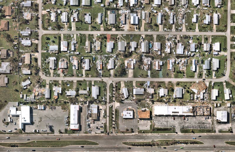
Government development planning with aerial maps
Portland, OR, U.S.

Planning and Development with a 360° View

Outdated, pixelated imagery hinders your ability to contextualize plans and make accurate decisions. Adding Nearmap Vertical, 3D, and Oblique imagery as a base map in your GIS applications can provide the complete view of an area needed for proper planning and site analysis. Reduce time spent modeling, mitigate risk and navigate zoning regulations with ease.

Government aerial image for government asset management
Golden Gate Bridge, San Francisco, CA, U.S.

Organize and Optimize Community Assets

Keeping track of locations and conditions of public assets and facilities is more than a full-time job. Get wide-scale coverage and current, contextual insights about each asset with Nearmap imagery. You can make decisions about budgeting, maintenance and upgrade activities with confidence and clarity.


I'm more than convinced that the return on taxpayers dollars for purchasing Nearmap is easily 100%, and this is only after a few months of using Nearmap.
Richard Conti, Assessor, Taunton, Massachusetts
Government aerial surveys in Chicago, Illinois
Grant Park, Chicago, IL, U.S.

Crystal-clear View of Your Communities

Ready to stop using grainy online images? Up your aerial game and starting working with high-res, current imagery of your government landscapes.

Start the Conversation