
Introducing: Nearmap for Post-catastrophe Response
Post-catastrophe imagery and AI-derived property damage and condition data unite to help insurers process customer claims more efficiently.
Post-catastrophe imagery and AI-derived property damage and condition data unite to help insurers process customer claims more efficiently.
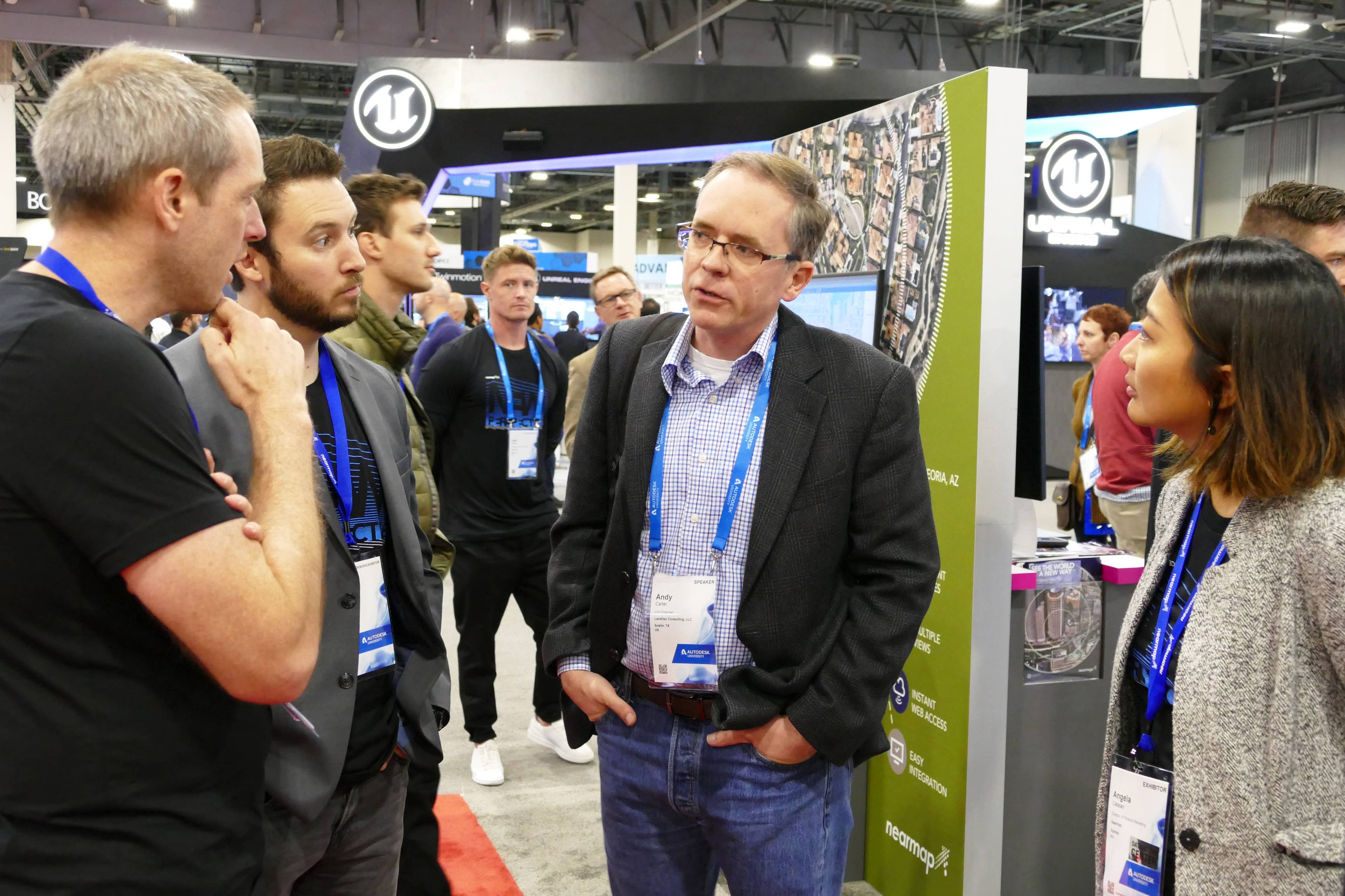
At Autodesk University in Las Vegas, Nov 19-21, attendees had an opportunity to get up close and personal with our product portfolio - most notably, our 3D location content.
"Wow...are you guys flying your own drones or satellite to capture this?" was a common question. Our answer is always the same: nope, but we fly fixed-wing aircraft across major urban areas, capturing imagery as clear as sub 3" GSD.
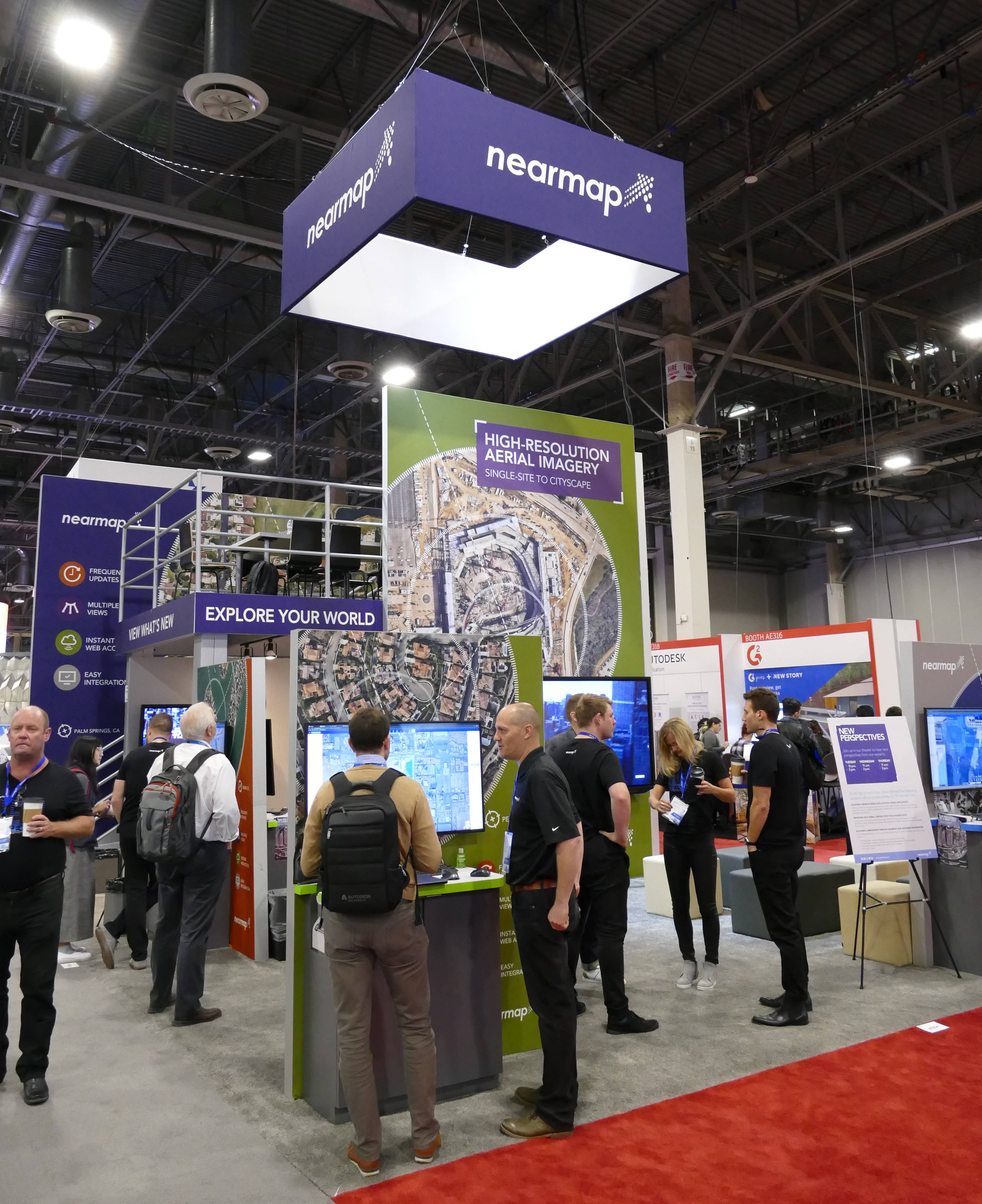
Our booth was busy throughout the show as we shared demo after demo of our aerial content.
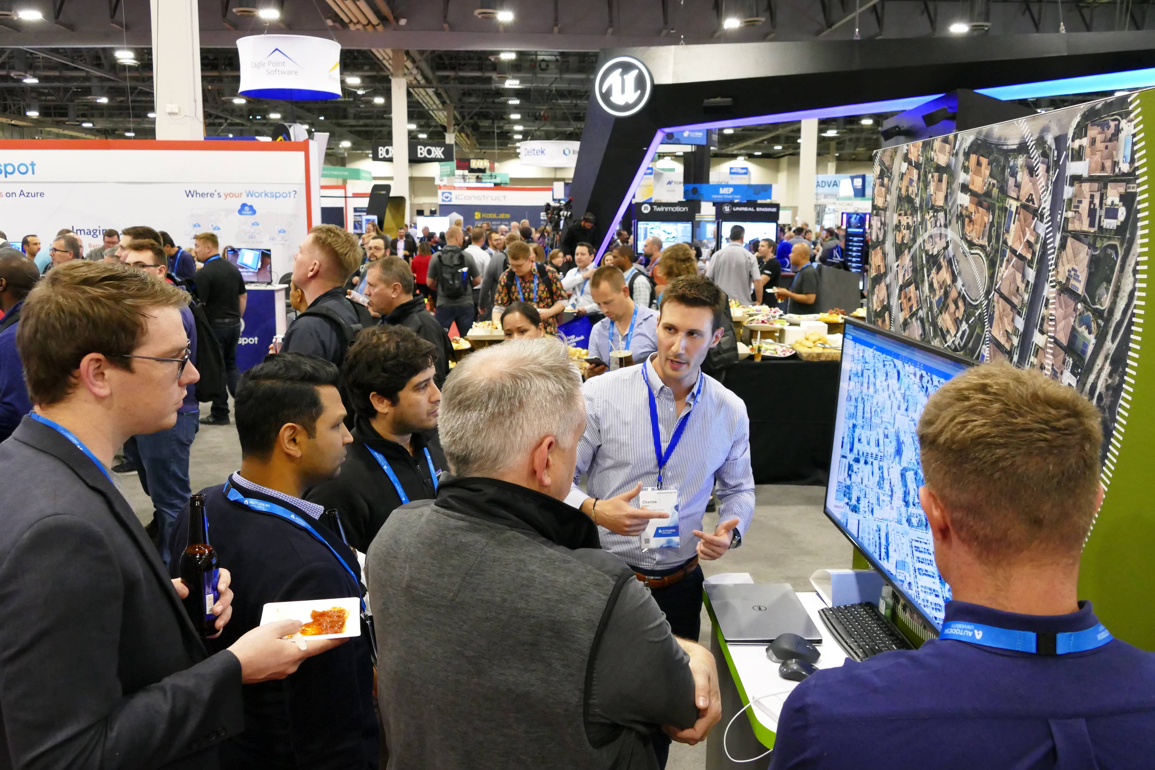
Often it was a large group crowded around one of our demo stations, such as this one during an evening session with Charles "Chardy" Staton, one of our Pre-Sales Engineers.
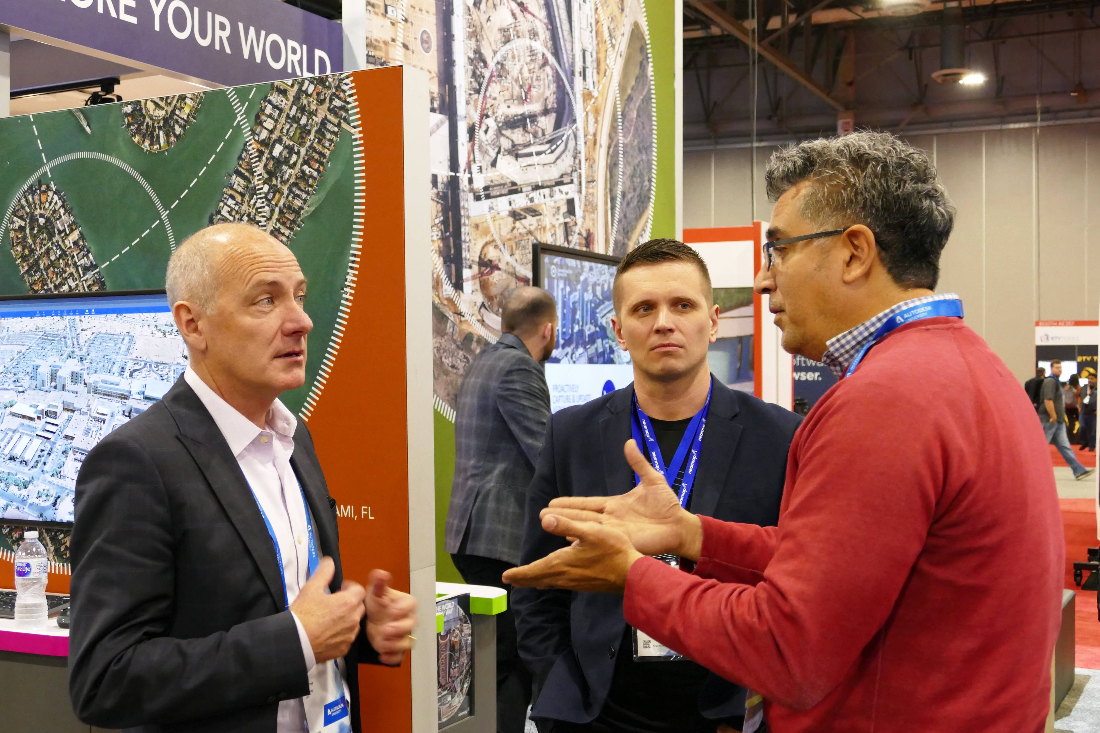
Our CEO Rob Newman was even on hand to answer customer questions alongside one of our product gurus, Igor Zevaka. Beyond chatting with customers, Rob was also interviewed by a few media, including Forbes which you can read here and get a glimpse into how Nearmap helps cities plan better with aerial data - including Artifical Intelligence.
Three times during the day, we held demos on our content and how it integrated with Autodesk programs such as Autocad, Civil 3D, Recap PRO, Infraworks, Revit, 3ds Max, and Navisworks.
Our product team - Stephen Neale, Angela Catalan - and AE Dane Allred were able to field questions from multiple customers.
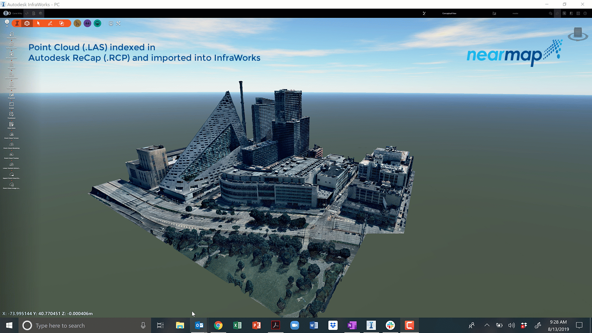
This small preview of our content within InfraWorks gives a little more context to how you use Nearmap data within Autodesk programs.
We'll see you next year at Autodesk 2020!
