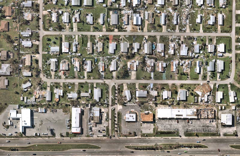
Introducing: Nearmap for Post-catastrophe Response
Post-catastrophe imagery and AI-derived property damage and condition data unite to help insurers process customer claims more efficiently.

Post-catastrophe imagery and AI-derived property damage and condition data unite to help insurers process customer claims more efficiently.
How much time could you save with easy access to existing site conditions data? This on-demand webinar offers step-by-step instructions on how to transform your designs with high-resolution aerial imagery, 3D data, and AI tools from Nearmap in Autodesk Civil 3D.