The top minds in property intelligence
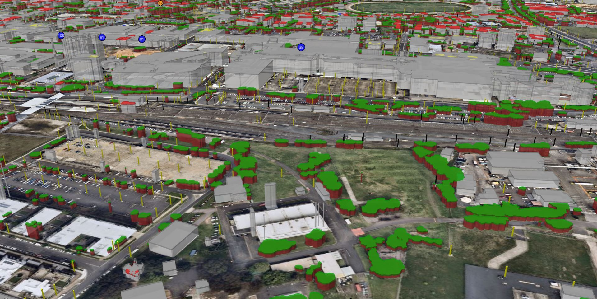
Infrastructure growth with digital aerial technology
Learn how embracing digital transformation and new technologies like spatial digital twins can help you maximise opportunities.
Watch webinar
Automate your solar design process
Learn how Nearmap imagery in Aurora Solar can elevate the solar design process, optimise your workflow and reduce truck rolls - saving both time and money.
Watch webinar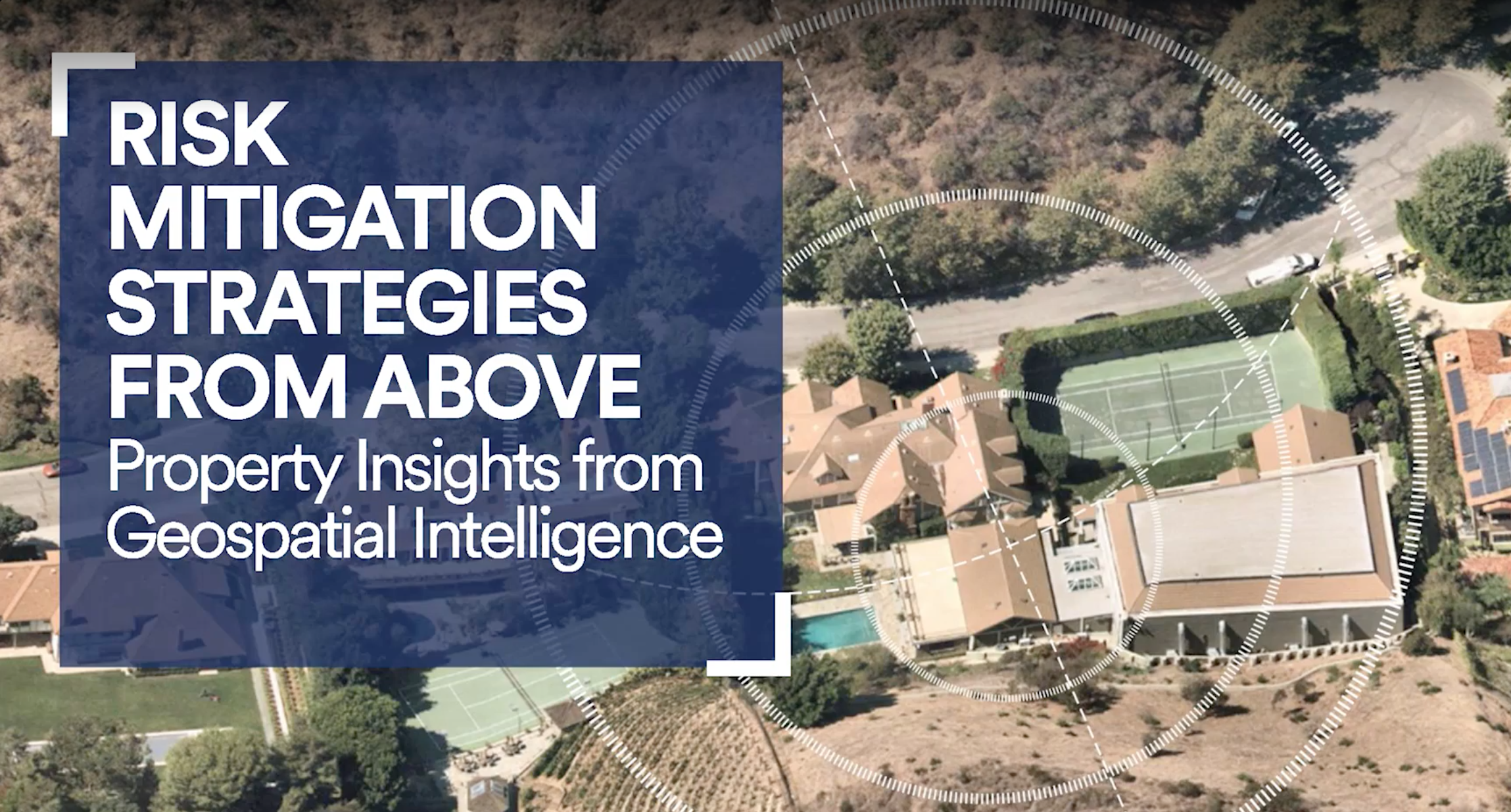
Geospatial intelligence for accurate property intel
Learn how Nearmap helps insurance carriers better understand a property and mitigate risk using the location intelligence derived from aerial imagery.
Watch webinar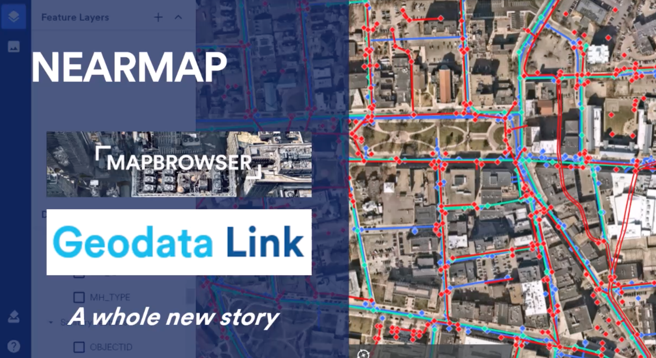
Simplify geospatial workflows with Nearmap
GeoData Link helps you fully leveraging your GIS data through an easy to use interface for anyone in your organisation to view Nearmap imagery and GIS data.
Watch webinar
Empower policy decisions with aerial data
Learn from real world examples of how property insights from aerial imagery help P&C carriers mitigate risk, identify gaps and optimise the claims experience.
Watch webinar
Keynote - Welcome
Looking at the key issues of urbanisation and climate change through the lens of technology, how we can look closer to provide solutions and solve problems?
Watch webinarDive deeper
Explore how geospatial experts are using Nearmap to advance their understanding of the world across AECO, government, and insurance.Blog
New perspectives, insider tips, and top industry trends. Immerse yourself in the world of property intelligence.
Nearmap in action
GIS pioneers explain how they’re using Nearmap to enhance their efficiency, accuracy, and performance.