Nearmap Announces Agreement to Acquire Betterview

Learn More
X

Safety and Security Start with a Source of Truth

Location data for public safety and emergency response needn’t stop at the front door.

Working with Nearmap makes sense for an organisation like Locatrix. Nearmap has the best site-based imagery hands down. Everything that people use Nearmap for, you also need to have that same information inside. We love high quality, accurate floor plans and we love high-quality, accurate imagery.
John Hummelstad, Locatrix CEO

Reliable location data ensures relevance

Reliable building information can be a lifesaver, quite literally, in situations requiring emergency response. That’s why Australian company Locatrix is on a mission to map inside our walls - think “Nearmap for indoors.”


“If you study what's happening with intelligent buildings and what we all expect of our workplaces now, there is a need for internal mapping,” Locatrix CEO John Hummelstad explains. “Internal mapping is being driven by the need to have data on safety, security and asset tracking. 

“The need to mesh the outdoors with the indoors has become stronger… but to give it relevance, you need to have very effective and accurate spatial imagery from the outside.”

The Challenge at a glance

Safety, security start with a source of truth

Consider the evacuation signs on public and commercial buildings, on the walls in common areas, near the lift - or in your own office. Locatrix captures content to keep these updated, and for any purpose associated with site-specific risk, Hummelstad explains.

“It's a requirement under Australian law that you have those signs, because if there was an emergency and, there was thick black smoke, people can be disoriented. They’ve got to find a way out of the building,” Hummelstad says.

“It’s all relative to the evacuation point and the assembly area. As a result of that, we also need an external site plan. Nearmap is the one we use because it's best."

The Solution at a glance

“Nearmap on the inside”

Brisbane-based Locatrix started as a training business involved in emergency management.  In providing services to thousands of buildings around Australia - including airports, railway stations and the like - it created a library extending far beyond signage. The company now supports efficient building management with spatially accurate floor plans, asset data, and evidence collection. 

“Everything that people use Nearmap for, you also need to have that same information inside,” Hummelstad says.

Using technology to stay up-to-date, inside and out

“Perhaps you are changing office walls or need an internal staircase,” Hummelstad explains. That won’t be on the original CAD diagrams. You have to do new ones, or new egress paths or new fire evacuation plans. Our software enables that easily and without fuss.”

Locatrix PlanStudio, PlanSafe, and the Emergency Services Platform (ESP) help achieve and maintain safety standards across multiple sites, supporting on-the-spot updates. “You can walk around with your iPad, make corrections, publish the evacuation signs, and put the fire extinguishers in place," he says.

“We love high quality, accurate floor plans and we love high-quality, accurate imagery.

Related Product

SAFETY SHOULDN'T STOP AT THE FRONT DOOR

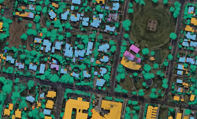
Nearmap's Measurable Obliques gives you up-to-date aerial site imagery — without setting foot on site.
DISCOVER MEASURABLE OBLIQUES

JOIN THE MAPPING EVOLUTION

Up your aerial game and start working with high-res, current imagery of your work sites and properties. Get the advantage of premium geospatial content combined with world-class mapping software and integrations.

Start the Conversation