
Imagine streaming current location content – streets, building, infrastructure, the environment – directly to your desktop or mobile. Now imagine this with an added twist where the dimension of time allows you to look at temporal changes on maps.
High definition virtual models of our environment are being captured with cameras. A quantum leap in computational capacity is being applied to analyse these aerial maps. As the photographs move closer to reality, the analysis gets better and better. The result? Actionable intelligence.
Mapping has embarked on a new future – leading aerial imagery presented in multiple views and from multiple perspectives. They navigate from one view to another all the while gaining insights. They modify their viewing perspective, change look angles and in so doing, interpret ground truth. They recognise surface imperfections, inventory assets and measure precisely. With reality as a service, they locate the ideal site, plan with certainty and design with confidence.
Today vertical imagery is frequently captured in high-resolution across urban New Zealand. Streamed into the cloud within days of capture, users have instant access through connected devices. The library of historical captures grows every day allowing users a view into the past with comparisons to conditions today.
And we are at the cusp of another breakthrough. Increasing computational band-width and advanced algorithms will precisely model the multi-perspective imagery yielding sub-pixel relative accuracy.
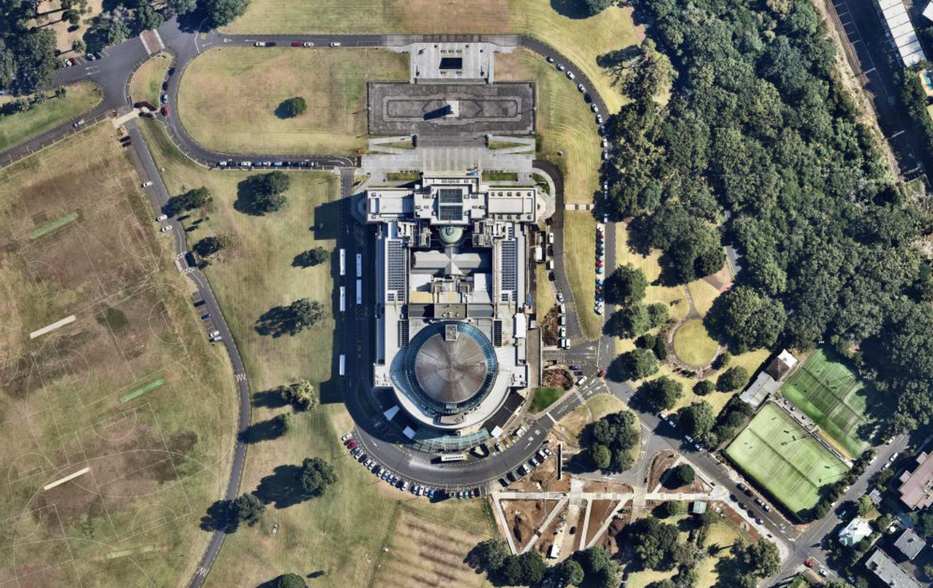
Auckland War Memorial Musuem
Time Adds Dimensional Context to Flexible UIs
Time as an added dimension multiplies practical use cases for any organisation. Users see temporal change and measure progress. In a world where screen real estate matters, it’s not only about image history. UX design has evolved providing continuous zoom levels. Discrete tile layers are a thing of the past. Easy navigation facilitates learning at the speed of the human mind. Users have the freedom to explore, unlock insights and transform the way they work.
Aerial Mapping Drives Predictive Analytics
Resolution matters in aerial mapping and not just because humans can clearly see the details. Machines are now interpreting those details and automatically classifying ground features. Is it a wood deck or a brick patio, a sky light or a solar panel, a white pine or a blue spruce? Flying at heights of over 10,000 feet, high definition aerial photography simultaneously captures both vertical and multi-angle oblique views of the terrain below in stunning 6cm GSD resolution in New Zealand. This vast collection of visual and topographic data is streamed into the cloud and assembled into multi-directional seamless panoramas.
New data sets are being derived from imagery allowing users to answer questions never thought of. Results support field operations in real estate, insurance, utilities, construction, energy and more. When you add the dimension of time to this analysis, automated change detection becomes possible. As new forms of aerial photography come on line, the analysis becomes richer.
Analysis of Imagery Has Begun
Early last year, Cape Analytics (Mountain View, CA) pioneered cloud-based delivery of high-value property features and risk alysis for real estate portfolios. Principally for insurers, frequently-updated ortho (or vertical perspective) data is transforming the underwriting process by increasing quote speed and accuracy at lower cost.
Cape Analytics utilises proprietary machine learning and computer vision algorithms to accurately assess multiple property risks instantaneously – from physical feature detection to condition assessment, potential risk hazards, and damage analysis following natural disasters.
Conclusion
Rich, repeatable aerial datasets take us from “seeing is believing” to pattern recognition and detailed analytics. Businesses then operate faster. They move from a manual process of visual inspection to automated analysis backed by queries that pinpoint specific locations. Resource deployment and targeting become easier. Massive data in the form of aerial maps are becoming the knowledge base of answers to complex questions. Dramatic increases in computation and storage capacity power the effective dissemination and exploitation of rich data-sets by humans and machines.