Nearmap Announces Agreement to Acquire Betterview

Learn More
X
Utility asset management aerial mapping software
Utilities

Utility Mapping with Aerial Imagery and Location Intelligence

Water, electricity, waste, and environmental services use high resolution aerial photo maps to track infrastructure, deploy crews efficiently, and respond quickly to service interruptions.

Apr 2023 | Te Marua, WGN, N.Z.

Streamline Asset Management for Utilities Across Entire Networks

View a single service area or an entire region on-demand from wherever you are. Much more current than even the latest satellite map, our frequently updated imagery provides the truth on the ground — so you can plan maintenance activity, address issues, and mitigate utility risk with confidence.

Utilities aerial images of Marsden Point, Whangarei
Marsden Point, NTL, N.Z.

Keep Ground Assets Firmly in Your Sights

Track large utility inventories with the ability to remotely scan and measure hundreds of kilometers of water mains or electricity lines from your desk.

Use historical imagery to monitor vegetation growth and understand potential risk to power lines or other vulnerable infrastructure.

Utility aerial imagery of regional agriculture in Warkworth, Auckland
Warkworth, AUK, N.Z.

NIP Environmental Problems in the bud

Monitor vegetation health to understand the need for on-site contamination investigation and testing.

Inspect imagery from multiple dates to spot illegal dumping by detecting changes in terrain.

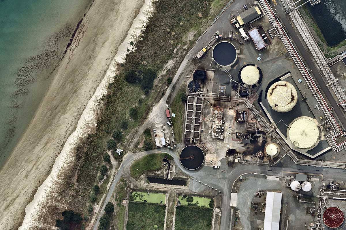
High resolution aerials utility water treatment regional Mangere, Auckland
Mangere, AUK, N.Z.

Ground plans in reliable geospatial Data

Determine demand for new infrastructure by tracking urban development. Map the location of required infrastructure, including water mains and sewage pipelines, without making multiple site visits or intruding on customers’ time and property.

Utilities aerial maps of regional agriculture aerial in Bankside, Canterbury
Bankside, CAN, N.Z.

GROW YOUR CUSTOMER FANBASE

Quickly resolve customer disputes by reviewing imagery for clues about water usage (such as unusually green lawns in times of drought) or by reviewing historical imagery to identify exactly when damage to a property occurred.

Instantly visualise service outages or other issues by overlaying data on current, measurable imagery.

Utilities aerial maps of construction site in Auckland
Auckland, AUK, N.Z.

MAKE SHORT WORK OF FIELD CREW DEPLOYMENT

Accurately plan routes and shuffle vehicle assignments for duty cycle and dynamic factors like downtime or preventative maintenance. 

Efficiently deploy crews during critical events by providing them with exact geocoordinates and current information about site access and obstructions, along with mobile access to Nearmap in the field. 

aerial image of gembrook landscape VIC-- 23 Decemeber 2018
Customer Story

9,000 KM OF WATER MAIN, 1 EXCEPTIONAL MAPPING SOLUTION

Yarra Valley Water maintains its vast infrastructure and keeps customers hydrated and happy with up-to-date, high-res aerial imagery. 

Read More
Aerial pictures utilities image coastal Portland, Whangarei
Portland, NTL, N.Z.

Join the mapping evolution

Up your aerial game and start working with high-res, current imagery of your work sites and properties. Get the advantage of premium geospatial content combined with world-class mapping software and integrations.

Start the Conversation