
Introducing Nearmap for Post-catastrophe Response
Post Catastrophe Imagery and AI-derived property damage and condition data unite to help insurers process customer claims more efficiently.
Post Catastrophe Imagery and AI-derived property damage and condition data unite to help insurers process customer claims more efficiently.
Few things are challenging the way we work more than the current state of the environment. Our focus is on you and how we can help you navigate those challenges and maintain business continuity.
Today's organisations need a way to work remotely, and being able to tap into high-resolution aerial imagery from any device, anywhere, helps increase efficiency while reducing operational costs.
But how to source that imagery?
There's been a growing proliferation of UAVs as the demand for access to imagery--in order to see truth on the ground--has become an expectation, not just a luxury. Satellite imagery has been available for many years and is widely used thanks to its all-encompassing coverage. The question that is starting to arise when it comes to increased access to aerial imagery is, "How well do you trust what you're seeing?"
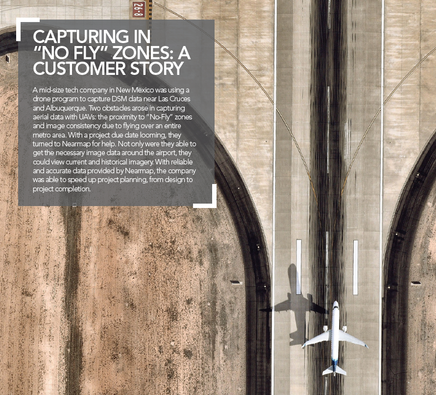
When you need timely, accurate, and crystal-clear imagery, adding in an additional capture program beyond the use of drones and satellites is not only possible, but necessary.
Nearmap flies fixed-wing aircraft, 2-5 times per year, over 89% of Australia's population. Using proprietary camera technology, we capture aerial data in a variety of formats: vertical, oblique, panorama, and 3D datasets such as DSM, Textured Mesh, Point Cloud, and true ortho. This content is delivered via a web browser application and can be exported simply and easily into popular GIS/CAD programs.
Location is everything, but when it comes to your projects, location intelligence is better. Whether you've been using satellite or UAV captured imagery to view your job sites, there are better ways to increase your environmental knowledge. Adding Nearmap to your aerial imagery dataset fills in those gaps and gives you greater confidence that you really are seeing truth on the ground.
How do we fill in those gaps?
If you've ever used drones to capture imagery, you know the quality and high-resolution of the imagery is undeniable. However, real challenges exist when operating a drone, challenges that Nearmap can help solve.
COVERAGE - The biggest benefit customers find when complementing their UAV capture program with Nearmap imagery? The ability to see data at scale - view an entire city, not just a city block. The clarity of the imagery at 5.5cm GSD also means it's imagery that can be depended on.
CONSISTENCY - Since Nearmap flies on a regular cadence annually, our customers receive imagery that is reliable, repeatable, and dependably accurate.
CLOUD-BASED - Access to Nearmap's high-res imagery resides on our web-based platform, MapBrowser, which means customers don't have to worry where to host massive amounts of captured data on their own servers.
COST - Depending on the size and location of the area of interest, Nearmap is equal to - if not more cost efficient - than most drone capture programs.
The benefit of "free" imagery compared to Nearmap comes down to two very specific points: currency and clarity.
CURRENCY - Nearmap regularly flies 2-5 times per year across the largest urban areas in Australia. which means you'll be able to view seasonal and environmental changes over time. Many customers recognize this as a key value of having a Nearmap subscription. Instead of accessing imagery that can sometimes be up to 4-5 years old, customers can track land and project changes on at least a semiannual basis.
CLARITY - Compared to satellite imagery, Nearmap is 4-5 times greater in resolution and clarity than satellite. Having access to high quality imagery allows project managers to design solutions with greater confidence.
The bottom line? You need visibility at scale that is CURRENT, CONSISTENT, and CLEAR. Adding in Nearmap's product portfolio as a complement to your UAV program or satellite imagery library gives you optimal data for seeing truth on the ground. It's time to see your project sites in a whole new way and start working with the latest source of truth. Because what you can't see may end up costing you.
