Related Product
Nearmap Oblique
View reality from multiple directional perspectives, with advanced tools for remote measurement and analysis.

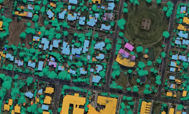
Post Catastrophe Imagery and AI-derived property damage and condition data unite to help insurers process customer claims more efficiently.


