Nearmap backs Australian small businesses with accessible property intelligence
New MapBrowser Essentials and Pro plans give smaller teams greater cost certainty, more flexibility, and room to grow.
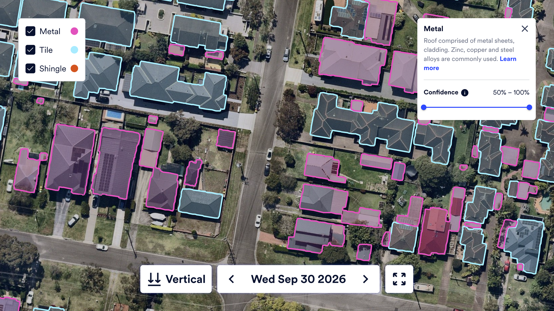
SYDNEY, Australia — October 27, 2026 — Nearmap, the global property intelligence company born in Australia, is making its aerial imagery and property intelligence more accessible to small and medium-sized businesses with two new MapBrowser unlimited data pricing plans designed to meet the needs of smaller teams.
MapBrowser is the Nearmap web-based mapping application, giving businesses access to high-resolution aerial imagery and property intelligence data to explore sites, assess properties, and make more informed decisions.
With businesses navigating ongoing cost pressures and balancing investment with changing project demands, MapBrowser Essentials and MapBrowser Pro give organisations greater choice in how they access and use property intelligence. The new plans introduce user-based pricing for customers requiring five or fewer user licenses, removing consumption-based usage limits and giving teams greater certainty over their costs.
The announcement builds on Australian roots and longstanding commitment Nearmap has to helping organisations of different sizes put property intelligence to work. For smaller businesses, consultancies, agencies, and teams taking on new projects, access to high-quality property and site data can help inform decisions, support more efficient workflows and create opportunities to compete with greater confidence.
“Small businesses are an important part of Australia’s economic fabric, and they deserve access to technology that helps them do their best work,” said Andy Watt, CEO of Nearmap. “We were born in Australia, and supporting businesses as they grow has always been part of our story. These new MapBrowser plans give smaller teams more flexibility in how they get started, with the confidence to use the platform as their work demands and expand their capabilities when they’re ready.”
MapBrowser Essentials offers an affordable entry point for organisations that primarily need aerial imagery, making it easier for new customers to begin using Nearmap on a smaller scale. MapBrowser Pro delivers a broader set of standard capabilities, including 3D and digital surface model (DSM) exports and building footprints, providing additional functionality for customers with more advanced requirements. Both of these new plans include the full range of Nearmap historical imagery, as well as vertical, panorama, and oblique images.
“New drivers learn on Australian roads, so we build our training on real Australian intersections rather than generic ones”, said Schalk Pienaar, Founder and CEO of Nexefy. “Nearmap’s imagery is what makes that practical for a team our size, and paying by user rather than by usage means we can keep building without watching a meter.”
Both plans are designed to give customers greater control over how they access MapBrowser. With user-based pricing and no consumption-based usage limits, teams can use the platform as their projects require without having to monitor usage or worry about exceeding consumption caps.
The plans also provide a flexible path forward. Businesses can start with the functionality they need today, then add users or move to more advanced capabilities as projects develop and their requirements change. This enables smaller organisations to adopt property intelligence at a pace that works for their business, without having to garnish usage to align to monthly data limits.
By making it easier for smaller teams to get started and grow with Nearmap, the new plans extend access to property intelligence across Australia’s diverse business landscape, helping more organisations make informed decisions about the places and properties that matter to them.
About Nearmap
Nearmap is a global property intelligence company redefining how organisations understand and act on the built environment. By owning the entire intelligence value chain—from high-recency geospatial capture powered by patented camera technology to accurate AI-derived analytics and guaranteed building materials data—Nearmap delivers a single, trusted source of truth for property decisions. Insurers, government agencies, and AECO organisations rely on Nearmap to transform property uncertainty into evidence, helping organisations move beyond fragmented data and manual processes with verified, frequently updated insight. These proprietary insights enable faster, more confident decisions across underwriting and claims, assessment and response, and planning and construction so teams can see truth, assess risk, and act with certainty. Founded in Australia in 2007, Nearmap stands as the definitive source of truth that shapes the liveable world.
Media Contact
Taylor Cenicola
Taylor.cenicola@nearmap.com
Taylor Cenicola
Taylor.cenicola@nearmap.com