Nearmap Announces Agreement to Acquire Betterview

Learn More
X
Aerial Geocortex image Victoria, British Columbia
Technology Partner

VertiGIS & Nearmap: See Clearly, Build Purposefully

The newest tool for your GIS development toolkit.

Jul 2020 | Victoria, BC
The high-resolution imagery provided by Nearmap has the potential to be a major game-changer for our customers. Not only is the imagery easy to integrate with, but Geocortex users can now also count on the current imagery being updated up to three times a year, leaf on/off. This enables users to confidently design beautiful, powerful apps for street-level use, opening up new possibilities and use cases within their GIS infrastructure.
Brock Hurley, Product Marketing Specialist, Geocortex
VertiGIS logo

Configure your Geocortex Essentials or Geocortex Web application around detailed aerial imagery. Easy to integrate, Nearmap high-resolution imagery offers new perspectives for your local Government, Utilities, Energy, AEC, and NGO end users, enabling you to expand your workflows inside Geocortex viewers and field apps. With continuously updated imagery, Nearmap helps you align your future operations, data collection and asset management plans, saving you time and money.

Geocortex, GIS, Coachella Water Valley District
Nearmap imagery inside Geocortex Essentials, Coachella Valley Water District, CA

UP-TO-DATE IMAGERY FOR YOUR PERSONALIZED APPS

Current, frequently updated imagery from Nearmap provides you with easily recognizable, real-world context for your projects. Enable asset managers to quickly identify and examine asset health. Help engineers better inspect the environment for building and development. Empower your operations teams to efficiently manage water, sewers, roads and traffic, fleet, facilities, and much more.
Low Resolution Satellite Imagery, Warragamba Dam, NSW
High Resolution Nearmap imagery inside Geocortex Essentials, Warragamba Dam, NSW

See the Clearest Perspective for Your Viewers

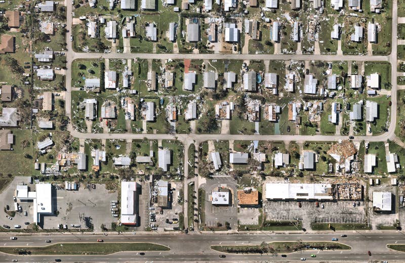
Get closer to the ground with our crystal clear imagery, without pixilation, at sub-3” (7.5 cm) GSD per pixel. You’ll have the clearest and most comprehensive imagery for your Geocortex Viewer for HTML5 and Geocortex Web applications. Zoom in closely to see your projects and assets with true location intelligence from Nearmap.

Nearmap WMS integration inside Geocortex Essentials Manager

CONSISTENT, CLOUD-BASED IMAGERY YOU CAN CONFIGURE

Easily integrate Nearmap imagery within your Geocortex applications. Use Nearmap WMS or Esri’s ArcGIS Online to bring in the most current and historical imagery for your desired location. Activate geofencing, select survey dates, and choose 2D or 3D imagery to integrate into your cutting-edge applications. Deliver targeted, insightful apps that your users want, synchronized with flexible aerial imagery.