Related Product
Nearmap 3D
Unlock a new perspective and immerse yourself in city surroundings with 3D reality models from Nearmap.

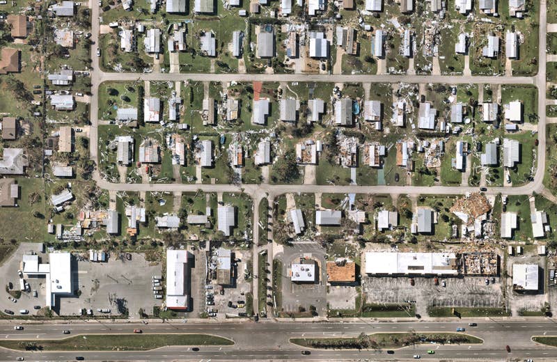
Post-catastrophe imagery and AI-derived property damage and condition data unite to help insurers process customer claims more efficiently.


