Nearmap Announces Agreement to Acquire Betterview

Learn More
X
aerial, property, Werribee, VIC, 2019 April 5

Absolute Building Consultancy Halves Quote Time with Nearmap

After integrating cloud-based imagery into their workflow, ABC sped up the development application approvals process by using up-to-date aerial maps of prospective development sites.

Apr 2019 | Werribee, VIC, Australia
When somebody rings up requesting a quote, I access Nearmap to get an understanding of the existing site and its surrounds. I’ll refer to the relevant planning regulations to gauge requirements and then have a clear picture of what needs to be done without even leaving my desk.
Simon Smith, Director

ABC ASSISTS CLIENTS IN TOWN PLANNING, ARCHITECTURAL DESIGN, ENGINEERING, AND PROPERTY CONSULTING

By using Nearmap to conduct detailed virtual site inspections, ABC found it could lower the time spent on site and cut its planning cycle by up to 20 percent. Calculating volumes and distances, and measuring the radius of a required crane turning space, is something ABC consultants can now accomplish quickly and accurately from their desks.

The Challenge at a glance

MINIMISE SITE VISITS TO STREAMLINE QUOTES & ESTIMATES

  • ABC needed an up-to-date, accurate aerial view to visualise its ongoing construction and prospective building sites.
  • It wanted to boost customer satisfaction and enhance the professionalism of ABC’s end-to-end building consultancy services.
aerial, property development, Keilor East VIC
The Challenge at a glance

Lower Site Visits, Cut Costs, Streamline Quoting & Estimation Processes

aerial, residential, roofing, Australia
The Solution at a glance

Faster Quotes and Fast-tracked Applications

  • Reduce quote preparation time for property development projects by 50% by visiting and assessing sites remotely.
  • Cut operating expenses by surveying and measuring sites virtually, lower the time contractors require to plan.
  • Faster DA approvals by supporting applications with current, clear aerial photography.
oblique, docklands, Melbourne VIC
Related Product

THE RIGHT IMAGERY FOR THE JOB AT HAND

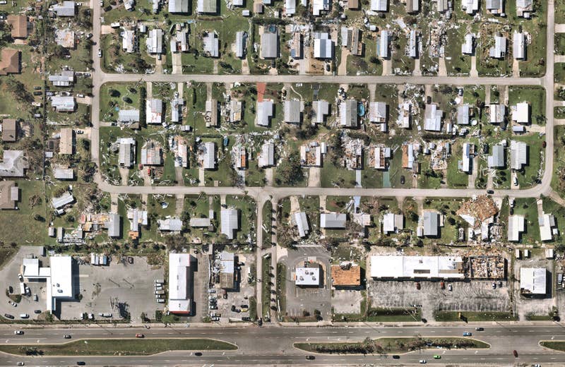
Nearmap Vertical gives you a clear, current view of your construction sites for accurate planning and execution. 
View Vertical Imagery
aerial, water,suburb, Point Cook, NSW, 2019 April 7
Apr 2019 | Point Cook, NSW, Australia

JOIN THE MAPPING EVOLUTION

Up your aerial game and start working with high-res, current imagery of your work sites and properties. Get the advantage of premium geospatial content combined with world-class mapping software and integrations.

Start the Conversation