Nearmap Announces Agreement to Acquire Betterview

Learn More
X
Integrations

WMS 2.0: You’re in control

With web map service (WMS) 2.0, find the exact imagery you need and enhance your integrated workflow.

May 2023 | Fort Lauderdale, FL, U.S.

Use Nearmap your way

More control over the things that matter most, with less complexity. That’s the power of using WMS 2.0 for the Nearmap imagery in your integrated workflow. 

Use an easy, interactive portal to create your perfect service and find the exact imagery you need, at the right time, every time.

Intuitive interface with more control

WMS 2.0 puts you in control. Draw a polygon around the precise area of interest to get exactly what you want, and control the exact survey dates as well.  
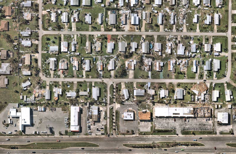
Improved positional accuracy and projections

Enjoy enhanced accuracy and less positional errors. WMS 2.0 supports more coordinate systems, including GDA2020 for Australia and NAD83 for the US, including all local state plane projections, selecting the most appropriate for your needs automatically. 

Easily navigate across regions and dates

Need it always up-to-date? The Simple WMS 2.0 service always uses our most recent aerial imagery, perfect for those who just want to know the story ‘now’. Choosing the WMS 2.0 Custom service lets you select a date range and step back in time.

oblique, measure, height, Perth, WA, 2019 October 18
Product

Get the Full Picture with Measurable Obliques

View from multiple angles, and measure building heights and roof pitch — all remotely.


Discover Measurable Obliques

Watch the Webinar

Your workflow is easier with WMS 2.0. Find out more about the new way to use Nearmap and ‘fly direct’ to the exact content you need.

Watch Webinar