Nearmap Announces Agreement to Acquire Betterview

Learn More
X
Aerial photography of utilities
Utilities

Aerial GIS Data for Utility Asset Management

Water, electricity, waste, and environmental utilities use high resolution aerial maps to track infrastructure, deploy crews efficiently, and respond quickly to interruptions.

Feb 2023 | Kansas City, KS, U.S.

Monitor the Entire Network with Utility Mapping in GIS

With geographic informatoin systems (GIS), view a single service area or an entire region from your laptop, tablet, or phone in just a few minutes. Nearmap imagery is updated regularly, so you know you’re looking at a reliable version of what’s really on the ground — much more current than even the latest satellite map. Plan maintenance activity and remain agile when issues arise, with the right tools to mitigate utility risk.

Utilities surveying aerial image of pipes in Endicott, New York
Endicott, NY, U.S.

Keep Ground Assets Firmly in Your Sights

Map utility inventories: Remotely scan and measure hundreds of miles of water mains or electricity lines from your desk.

Use historical imagery to monitor vegetation growth and understand potential risk to power lines or other vulnerable infrastructure.
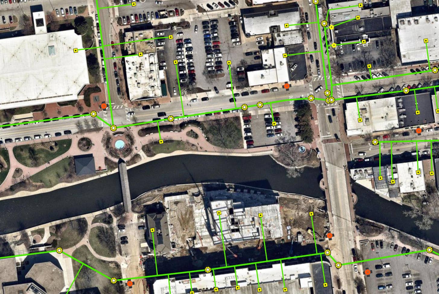
High-resolution aerial basemaps of water utility in Naperville, IL - 12 Mar. 2019
Naperville, IL, U.S.

Plan intelligently with reliable geospatial Data

Determine demand for new infrastructure by tracking urban development with historical imagery and overlaying Census and cadastral data. 

Map the location of required infrastructure, including water mains and sewerage pipelines, without making multiple site visits or intruding on customers’ time and property.

Jun 2017 | Cleveland, OH, USA
Apr 2019 | Cleveland, OH, USA

Nip Environmental Problems in the Bud

Monitor vegetation health to understand the need for on-site contamination investigation and testing.

Inspect imagery from multiple dates to spot illegal dumping by detecting changes in terrain and elevation.

3D aerial measurements for public infrastructure, Portland, OR - 2 Sept. 2018
Portland, OR, U.S.

GROW YOUR CUSTOMER FANBASE

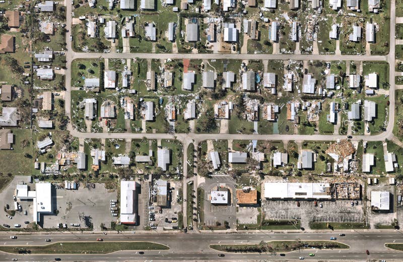
Quickly resolve customer disputes by reviewing imagery for clues about water usage (such as unusually green lawns in times of drought) or to identify exactly when damage to a property occurred.

Instantly visualize service outages or other issues by overlaying data on top of current, measurable imagery.

Aerial utility image of power lines in Nutley, New Jersey
Nutley, NJ, U.S.

Make Short Work of Field Crew Deployment

Use GIS data to accurately plan routes and shuffle vehicle assignments for duty cycle and dynamic factors like downtime or preventative maintenance. 

Actively deploy crews during critical events by providing them with exact geo-coordinates and current information about site access and obstructions, along with mobile access to Nearmap in the field. 

Frequently Asked Questions about Utility Mapping

  • What is utility mapping?

    Utility mapping is the process of locating and identifying utility assets and infrastructure and visualizing these on a map, including views from above from aerial or satellite maps.

  • What are the uses of utility maps?

    Utility maps are used for utility asset management, urban hydrology planning, vegetation management, stormwater management, optimizing maintenance and repair programs, emergency and post-catastrophe support, risk and regulatory compliance and network loading and capacity evaluation.

  • What is the importance of utility surveys?

    Utility surveys are used to efficiently monitor, plan and design for utility infrastructure development, cost-effectively manage utility assets, optimize deployment of field resources, quickly identify vulnerable infrastructure, swiftly respond to disruptions, and better inform post-disaster recovery.

oblique utility aerial of rail bridges in Pittsburgh, Pennsylvania
Pittsburgh, PA, U.S.

Let Imagery Work for You

Up your aerial game and start working with high-res, current imagery of your work sites and properties.

Get Started