Nearmap Announces Agreement to Acquire Betterview

Learn More
X
Transportation aerial view maps
Transportation

Aerial Maps for Transportation Networks

Monitor assets and plan networks from your office, with current aerial imagery that tracks individual stations through to interstate corridors.

Oct 2022 | Dallas, TX, U.S.

Simple Oversight for Complex Transportation Logistics

When your capital improvement sites, existing assets, and portfolio properties span hundreds or thousands of miles, it’s imperative to have immediate insight into what’s happening across your transportation network. With continually refreshed imagery of your transportation assets and ongoing project sites, there are no surprises — just deep insights to inform your decisions and underpin your planning. 

aerial transport image of highway routes in Seattle, Washington
Seattle, WA, U.S.

Vast Network? View it all in a Few Clicks

Expand visibility into the operational status and material condition of assets, including roads, vehicle depots, stations, rail tracks, bridges, and signage. 

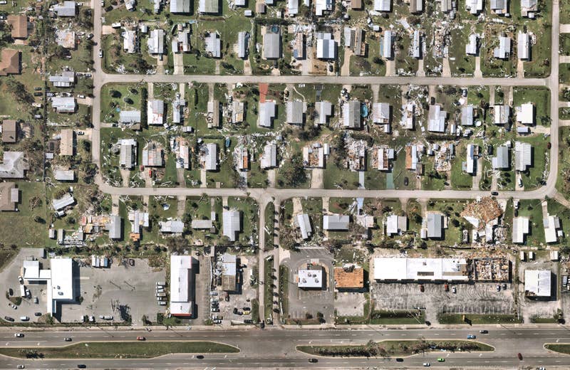
Use historical imagery to spot changes and identify risk, like vegetation overgrowth, storm damage, or ageing assets in remote areas, saving time and avoiding unexpectedly delays.

Aerial views for train mapping to accurately measure the length of track, road, and transit corridors.
Aerial transport image of highway construction in Austin, Texas
Austin, TX, U.S.

Improve Project Planning and Oversight

Combine geospatial and construction datasets in a “common operating environment” to reduce complexity, streamline communication, and ensure all stakeholders are up to date.

Keep tabs on contractual obligations by checking work progress.

transport surveying aerial image in Edwardsville, Illinois
Edwardsville, IL, U.S.

Maximize Field Crew Efficiency and Safety

Streamline incident response by supporting maintenance crews and emergency services with precise geo-coordinates and site information, enabling them to reach even remote locations faster, more safely, and better situationally prepared by mapping aerial location services and routes.

Improve field worker safety by lowering your overall number of site deployments. 

Aerial transport planning image in St Augustine, Florida
St. Augustine, FL, U.S.

KEEP GOVERNMENT AND the COMMUNITY INFORMED

Provide current aerial imagery of project progress to relevant government agencies.

Support tendering activity with current, high resolution imagery of proposed transportation upgrades.

Customer Story

Getting Airport Operations Off The Ground

San Francisco International Airport (SFO) relies on the frequency and functionality of Nearmap imagery to manage its built environment.

View Full Story
High quality airplane images and airport transportation
Transport surveying of train yard in Elkhart, Indiana
Elkhart, IN, U.S.

Transportation & Logistics

Up your aerial game and start working with high-res, current imagery of your work sites and properties. Get the advantage of premium geospatial content combined with world-class mapping software and integrations.

Start Now