Nearmap Announces Agreement to Acquire Betterview

Learn More
X
Detailed Bentley basemap images
Partners

Nearmap and Bentley: Your Planning and Design Package

Improve your infrastructure workflows using high-powered location intelligence.

Nearmap AI Layers in OpenRoads
Nearmap Vertical

Enhance Your Engineering Project Workflow

Nearmap partners with infrastructure engineering software company Bentley Systems to help customers bring high-resolution, up-to-date aerial content into Bentley’s industry-leading solutions for roads and bridges, rail and transit, cities, and more.

Reduce the risk of making engineering decisions based on outdated, low-resolution, or incomplete datasets. Instead, maximise your accuracy and efficiency with the content engineers need for preliminary planning and design work in one easy, accessible digital package—including high-resolution aerial maps, rich 3D content, and AI-derived insights.

Bentley basemap integration images in OpenRoads
Nearmap imagery as a basemap inside OpenRoads

Enhance Your Project Basemap

Access the latest ground truth by bringing in multiple data sources early on in the planning and design phase, including aerial imagery.

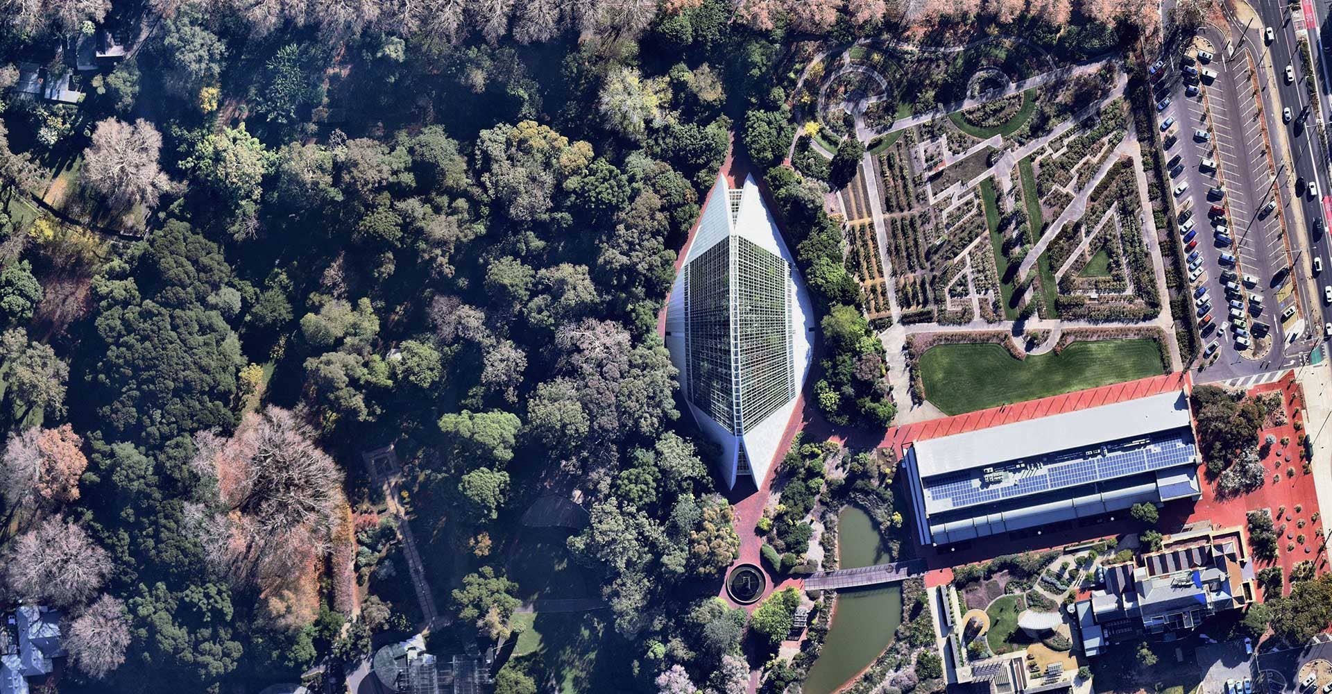
Nearmap proactively updates its high-resolution vertical maps multiple times a year across across major urban areas in Australia, New Zealand, the United States and Canada.

Our 5.5-7.5cm GSD imagery is geo-referenced and can easily be brought in as a basemap inside Bentley products, such as OpenRoads Designer or MicroStation, as a raster attachment or via WMS.
3D terrain basemap models in Bentley OpenRoads
Nearmap DTM GeoTiff as terrain model inside OpenRoads

Create 3D Terrain Models

Easy integration means you can bring high-quality 3D reality models into your preferred Bentley solution, ensuring the most accurate reflection of reality as your project background.

Seamlessly import Nearmap digital terrain model (DTM) and digital surface model (DSM) content in GeoTiff format into Bentley and convert to 3D terrain models.

View 3D Brochure
Bentley basemap images software technology solutions
Nearmap AI Layers inside OpenRoads

Leveraging Rich AI Insights to Accelerate Workflows

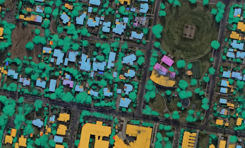
Nearmap is a leader in AI-derived location intelligence. Overlay vectorised and georeferenced AI layers on our orthogonal imagery to create preliminary linework, or validate existing vector features of your project.

The continually expanding line of AI packs include building footprints, building characteristics, construction sites, pervious and impervious surfaces, and more.

Nearmap 3D basemap imagery in Bentley
Nearmap 3D inside OpenCities Planner

Visualise your City in 3D at Scale

Nearmap integrates into Bentley solutions for GIS engineers and city planners.

Bring immersive, current Nearmap 3D content inside Bentley solutions such as OpenCities Planner to visualise designs within real-world urban landscapes for civil planning and digital twin projects.

Simple & Powerful Integrations

Nearmap imagery and data can be easily integrated into Bentley products via MapBrowser Export or WMS (Web Mapping Service), no coding required. Visit our Help Centre for more detailed instructions.

Aerial maps of Conservatory in Adelaide, South Australia
May 2021 | Adelaide, SA, AU

Join the mapping evolution

Up your aerial game and start working with high-res, current imagery of your work sites and properties. Get the advantage of premium geospatial content combined with world-class mapping software and integrations.

Start the Conversation