Introducing Nearmap for Post-catastrophe Response
Post Catastrophe Imagery and AI-derived property damage and condition data unite to help insurers process customer claims more efficiently.
Post Catastrophe Imagery and AI-derived property damage and condition data unite to help insurers process customer claims more efficiently.
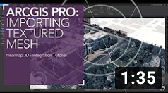
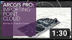
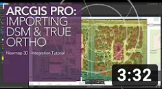
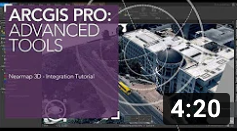
It's project time and you need advanced location intelligence to help you start off on the right foot. Nearmap 3D data easily integrates into ArcGIS PRO or Autodesk platforms such as Infraworks and ReCap. But how to get started?
We've got step-by-step tutorial videos to help you learn the ins and outs of using Nearmap premium imagery inside your preferred platform. Chuck Dostal, Senior Geospatial Engineer at Nearmap, walks you through the demonstrations so you can begin using 3D location data in your next project right away.
If you find you need additional assistance after watching these tutorials, please don't hesitate to contact our support team for help.