Nearmap Announces Agreement to Acquire Betterview

Learn More
X
Oblique aerial photo of post-infrastructure upgrade construction on 249 Third Street, Cambridge, MA - 11 April 2019

Transforming Land Development with High-Res Aerial Imagery

Highpoint Engineering dramatically improves the quality of presentations with up-to-date aerial maps.

Apr 2019 | Cambridge, MA, USA
Nearmap is a great application and fantastic for two main reasons. One, because of the high resolution and clarity of the aerial photography. The second piece is the amount of data that's available. It's great to be able to have access to imagery from multiple dates.
Michael Fabbiano, Vice President, Highpoint Engineering

Highpoint Engineering is a full-service civil engineering and consulting firm. The company focuses on project experience and design efficiency as key elements to success. Highpoint's lengthy civil engineering experience dates back to 2010. The firm is known for working to lower costs, keeping projects on time, and ultimately providing the highest quality work for its clients.

The Challenge at a glance

Context is Everything

Highpoint Engineering clients need regularly updated, detailed visuals of land development projects at various stages of development — without  traveling to site. This is especially critical because the company's focus is private sector commercial land development and permit expediting. 

Imagery sources Highpoint used in the past, such as free satellite maps, lacked the detail needed to be able to show clients real ground context for proposed plans.

Overhead aerial view map of Financial Park land development project - Franklin, MA - 11 April 2019 Overhead Aerial Map, Financial Park - Franklin, MA
Oblique aerial measurement of height and width of Cambridge Park Drive - 11 April 2019 Oblique Aerial Measurement - Cambridge Park Drive
The Solution at a glance

On-Demand Aerial Maps = Winning Presentations

Unlike outdated, low-quality satellite images or complex custom surveys, Nearmap provided Highpoint Engineering instant access to frequently updated, high resolution aerial imagery of 71% of the US. Using Nearmap, Highpoint's planners and designers are able to create superior quality presentations for their stakeholders.

Mike Fabbiano, one of Highpoint's managing principals, said, "We can use it across multiple platforms. We use it in our ArcGIS and AutoCAD platforms. We plug it into reports, presentations, and PDF format. The clarity is outstanding."


Business Impact

After implementing Nearmap into their design and project planning workflows, Highpoint dramatically improved the quality of their public presentations. Their clients and stakeholders, including municipal officials, board members, and the community, are now able to see plans with up-to-date, accurate visual detail.

Using Nearmap, Highpoint Engineering is able to: 

Show Change Over Time 
Analyze current imagery compared with previous captures, including both leaf-off and leaf-on captures.

Measure Remotely 
Get accurate area or distance between points of interest.

Export Imagery 
Enhance communications, and develop winning proposals.

View Vertical or Oblique Imagery 
Inspect the details that matter most.
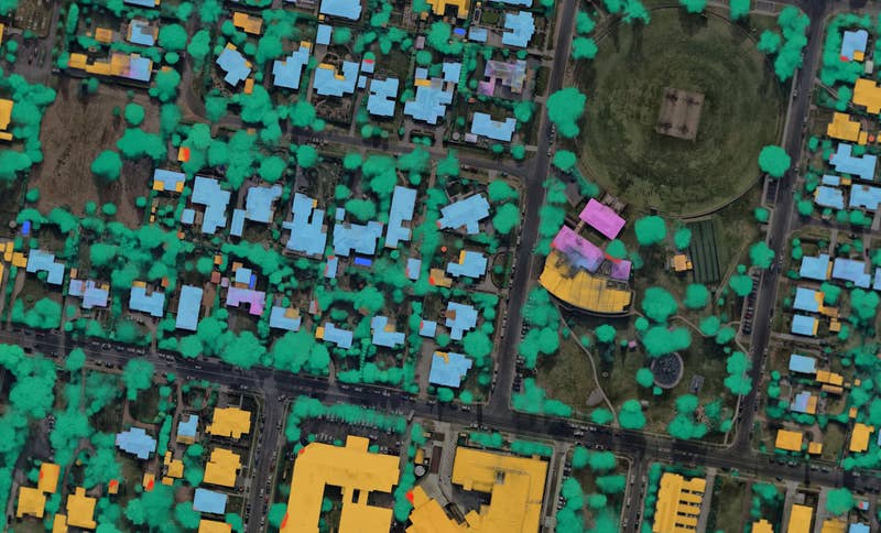
High-res oblique aerial view map of interesting architectural design in San Antonio, TX - 1 Dec. 2018 Oblique View of Architectural Design - San Antonio, TX
3D model of Logan Circle in Philadelphia, PA - Mar 14, 2019
Related Product

Log into the World with Nearmap 3D

Visualize and export 3D textured mesh, point cloud, DSM, or true ortho on-demand from MapBrowser.

See Nearmap 3D
High-res orthographic view of Rosa Parks Way in Lincoln, NE - 25 Aug. 2018
Aug 2018 | Lincoln, NE, USA

JOIN THE MAPPING EVOLUTION

Up your aerial game and start working with high-res, current imagery of your work sites and properties. Get the advantage of premium geospatial content combined with world-class mapping software and integrations.

Start the Conversation