Nearmap Announces Agreement to Acquire Betterview

Learn More
X
Customer Story

Managing Projects with Context and Clarity

HDR and Nearmap streamline large infrastructure project management.

We’re seeing improved communication and understanding of not only the project design, but the existing conditions information that we have on hand.
Cameron Schaefer, Data Acquisition & Reality Mesh Director, Transportation, HDR
Logo

HDR has been connecting people and places for more than 100 years, and has more than 10,000 employees in 200 offices around the globe. Ranked No. 6 in Engineering News-Record’s Top 500 Design Firms, the employee-owned design firm specialises in engineering, architecture, environmental and construction services. HDR adopted new technology to optimise its resources and serve its clients and communities more efficiently.

The Challenge at a Glance

Reducing Project Visualisation Time

With the inception of a multi-year build project focused on Iowa Highways, HDR identified issues in the conceptual planning stage of using reality mesh files for visualisations. The focus could shift from featuring the proposed designs to other aspects. HDR needed to identify different asset classes within a 45 square mile linear corridor. They required a solution that would enable the team to maintain focus on the design concept, and reduce the time taken to gather contextual data for the project visualisation and proposed design.

MAY 2021 | DES MOINES, IA, U.S.
MAY 2021 | DES MOINES, IA. U.S.
The Solution at a Glance

Photorealistic 3D Reality Models

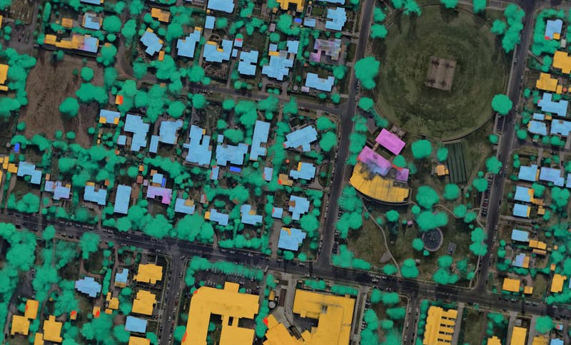
Leveraging frequently updated 3D-textured mesh from Nearmap, HDR gained a ready view of the built environment and surrounding infrastructure, solving the need to rely solely on lidar flights. At the conceptual planning level, this helped HDR designers understand potential environmental constraints and assets needing monitoring. As outlined in this reality modeling and visualisation webinar, the HDR team used Nearmap imagery within the solution that extracted the key results. This allowed the team to maintain focus on the proposed design.

Business Impact

Easy Integration, Seamless Sharing

Nearmap imagery enabled HDR teams to easily share integrated information with team members and clients, improving project communication and providing clearer context of current and planned projects; see this blog from Esri for more. Assisted by the Nearmap 3D reality mesh, HDR could identify all of the necessary asset classes in the 45 square mile area.

OCT 2021 | DES PLAINES RIVER BRIDGE, IL, U.S.
Related Product

Nearmap 3D

Unlock a new perspective and immerse yourself in city surroundings with 3D reality models from Nearmap.
Discover Nearmap 3D
Flight surveys for transportation
Sep 2021 | Toronto, ON, CA

Join the Mapping Evolution

Up your aerial game and start working with high-res, current imagery of your work sites and properties. Get the advantage of premium geospatial content combined with world-class mapping software and integrations.

Start the Conversation