Channel Partner
Resellers | VARS | Consultants | MSP’s
The Nearmap Channel Partner community sells or refers Nearmap imagery, content, and data in addition to providing supplemental value-added solutions and/or managed services to their clients.

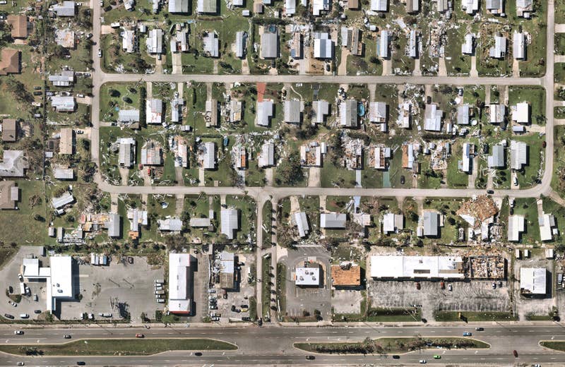
Post-catastrophe imagery and AI-derived property damage and condition data unite to help insurers process customer claims more efficiently.
Differentiate with the outstanding detail that only high-resolution aerial surveys can achieve at scale. Stay relevant with current imagery that keeps customers up-to-date and vast coverage that has their next location ready to view.
Partnering with Nearmap can enhance your products, services and entire value chain. Our Partner Program also includes early-access products, as well as joint sales and marketing benefits. Become a Nearmap Partner today.
Resellers | VARS | Consultants | MSP’s
The Nearmap Channel Partner community sells or refers Nearmap imagery, content, and data in addition to providing supplemental value-added solutions and/or managed services to their clients.
Application Developers | ISVs | Solution Providers
Nearmap content is incorporated into partner applications via an integration with our APIs. This allows customers with Nearmap accounts to easily access our imagery and data within your application, seamlessly enhancing your offering.
Software Platforms
Nearmap works with strategic, established partners with complementary, integrated technologies. We share vision, core technology and business objectives. Platform Partners and Nearmap have developed go-to-market strategies that are mutually beneficial.
Solution Providers | Software Developers
Nearmap OEM program is designed for solution providers to white-label or embed Nearmap content into offerings. Use Nearmap imagery to provide the clarity needed to drive your revenue growth and differentiate products.


