The power of Esri and Nearmap
As a trusted Esri partner and leader in location intelligence, Nearmap brings the best in GIS technology and aerial imagery and insights.
A decade of transforming GIS insights
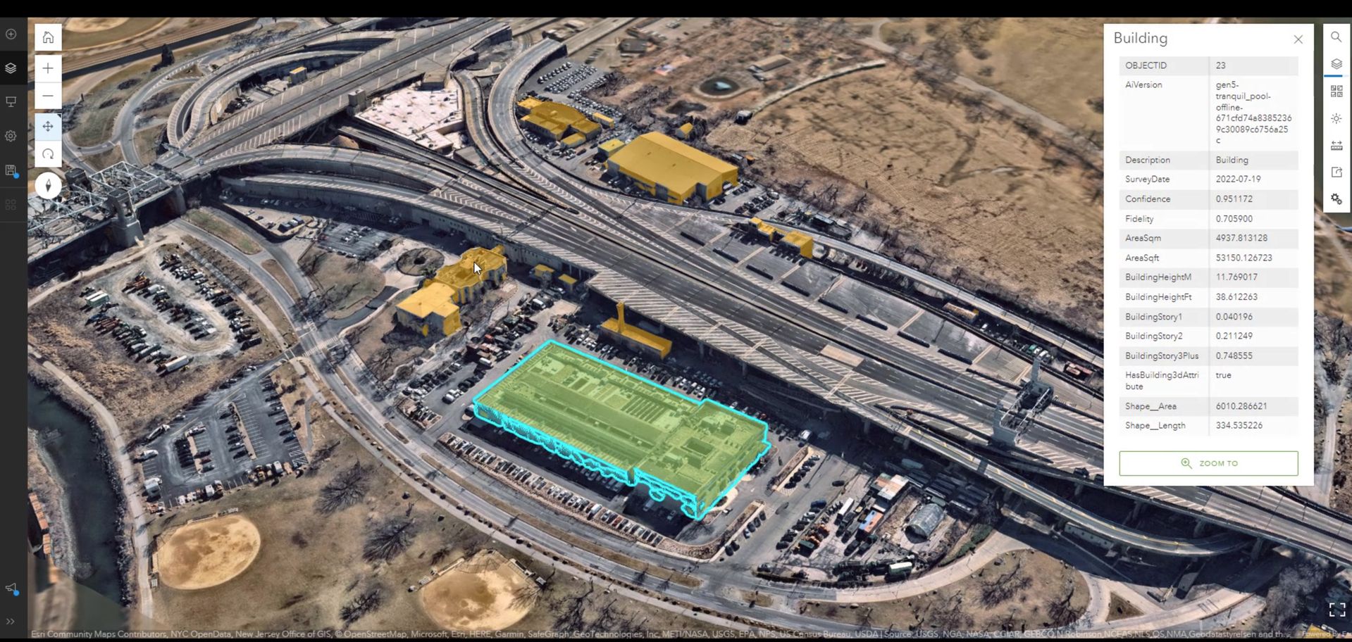
Seamless ArcGIS integrations
APIs offer streamlined access to high-resolution aerial imagery in ArcGIS. WMS 2.0 streams Vertical imagery with customizable projections, dates, and location filters. The Tile API provides Vertical and Panorama imagery as scalable tiles.
Integrates spatial data into Nearmap’s MapBrowser, enabling teams to overlay ArcGIS layers onto high-resolution aerial imagery.
Explore use cases

Sandy Springs: Smart urban transformation
Sandy Springs reimagines municipal development using Nearmap AI and geospatial technologies, evolving from a suburb to a modern urban community.
View case study
Salem's intelligent emergency response
By utilizing Nearmap imagery and AI-powered analysis, the City of Salem, Oregon, revolutionized its emergency management strategy and accelerated community recovery during a critical ice storm event.
View case study
Using AI for disaster assessments and response
Explore how the Nearmap for ArcGIS Image license enables advanced machine learning and geospatial intelligence for rapid post-catastrophe response and analysis.
View case study
AEC
Get precise project insights through high-resolution aerial imagery, advanced 3D mapping and surface modeling, and AI-powered spatial analysis. View AEC
Utilities
Leverage location intelligence to optimize utility workflows through advanced planning, management, maintenance, and disaster preparedness solutions.View utilities
Water
Plan, maintain, mitigate risk, and respond to disruptions with unparalleled accuracy and efficiency using comprehensive GIS mapping for water utilities.View water
Property assessment
Optimize property valuations by quickly identifying taxable properties, enabling data-driven assessments, and providing defensible geospatial analysis.View property assessment
Emergency management
Rapidly assess damage, plan interventions, and coordinate precise location-based resources during critical incidents.View emergency managementHelpful links
Learn more about Esri and Nearmap
Get help

Connect

Additional resources
We're better together
Get leading location intelligence with the combined powers of Esri and Nearmap.
